Fine Art Printery
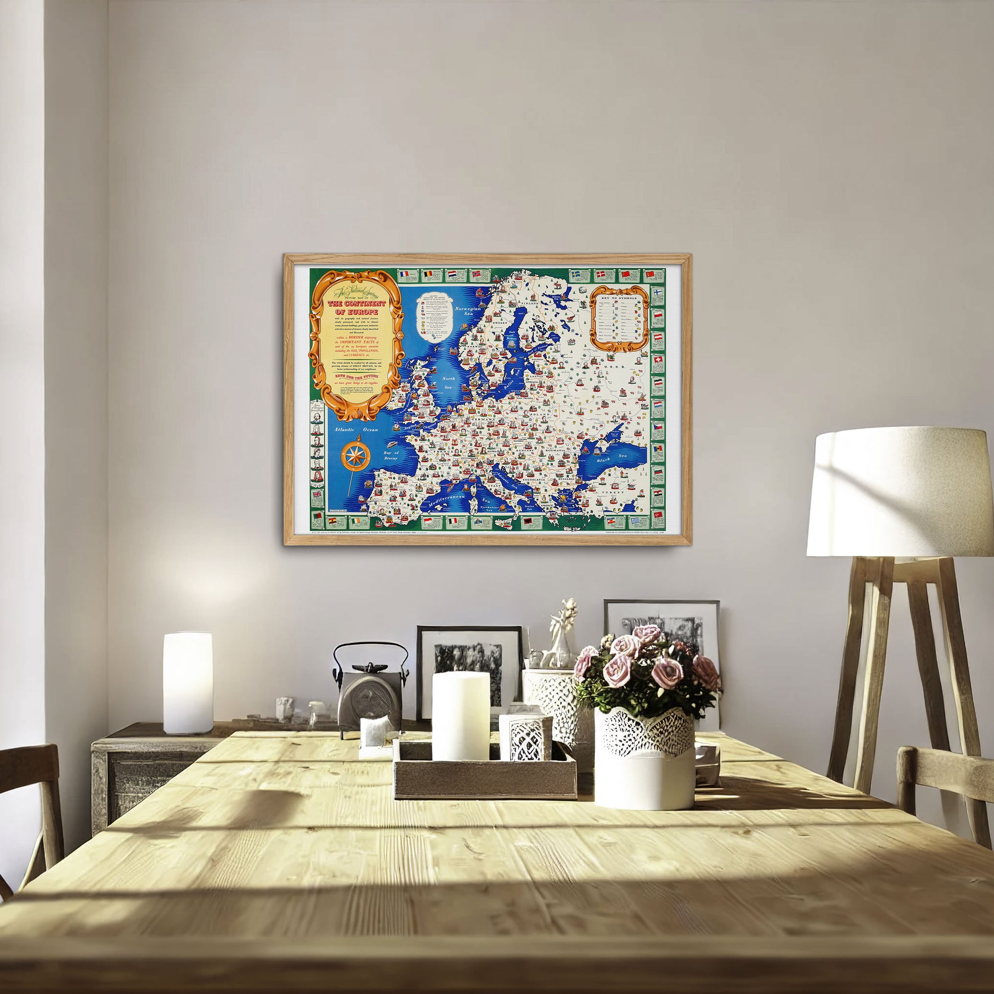
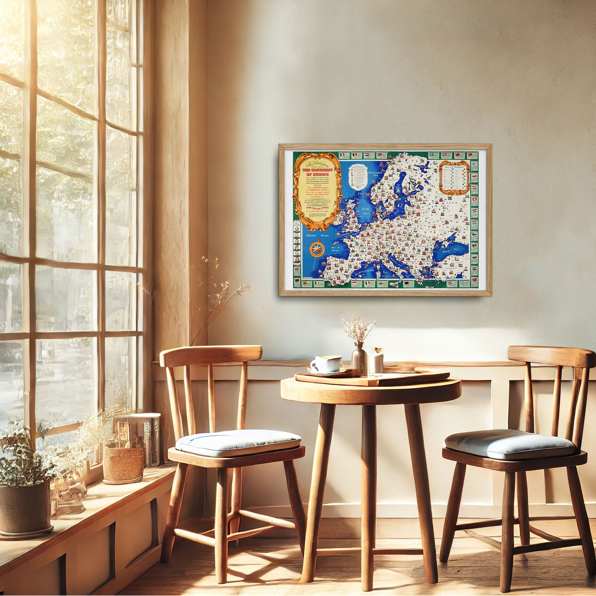
Map of Europe from 1946 - Historical map from the post-war period, by H. Charles Paine
Map of Europe from 1946 - Historical map from the post-war period, by H. Charles Paine
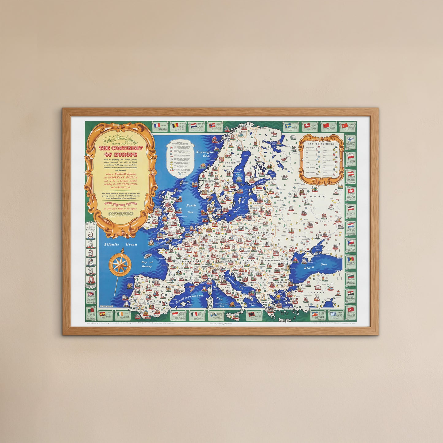
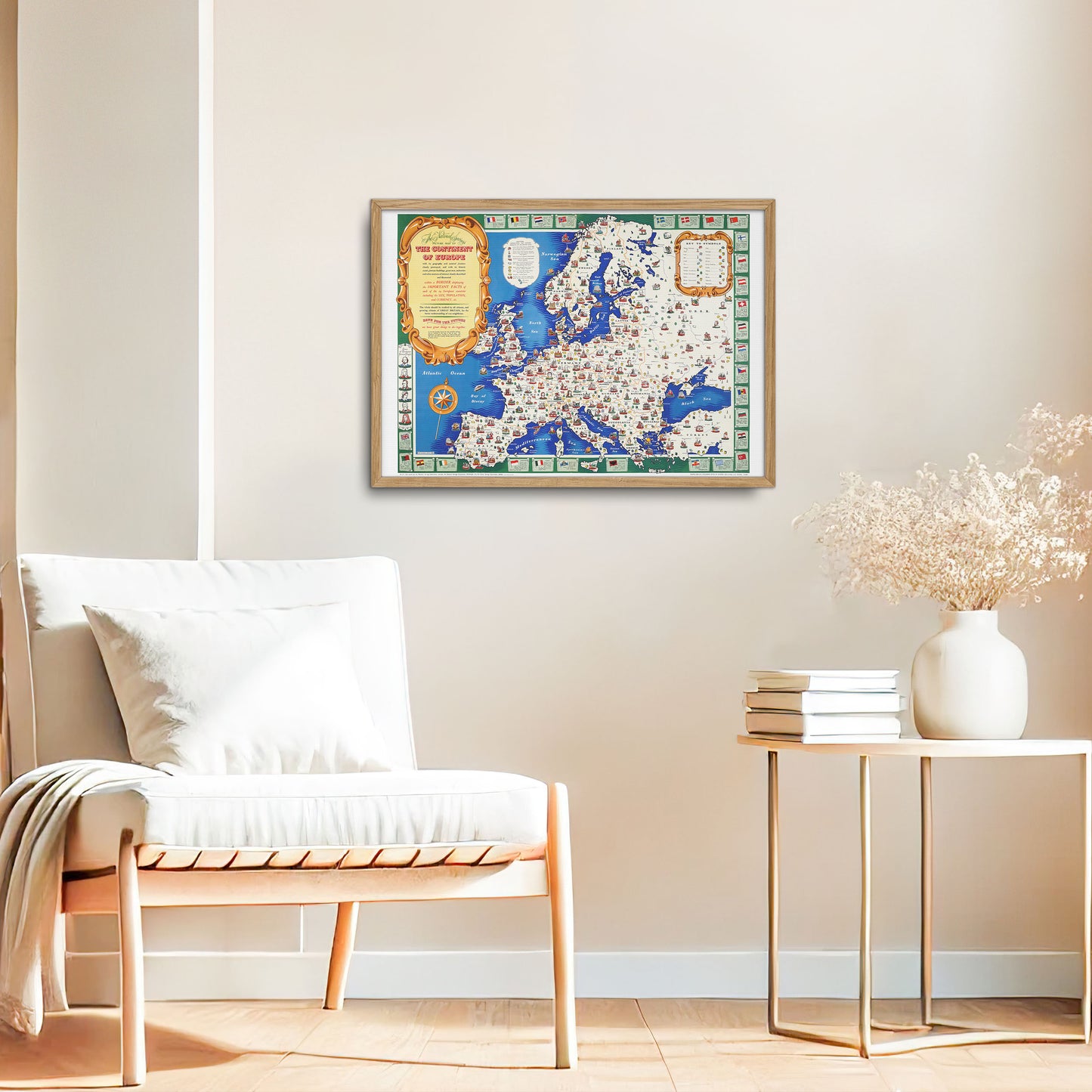
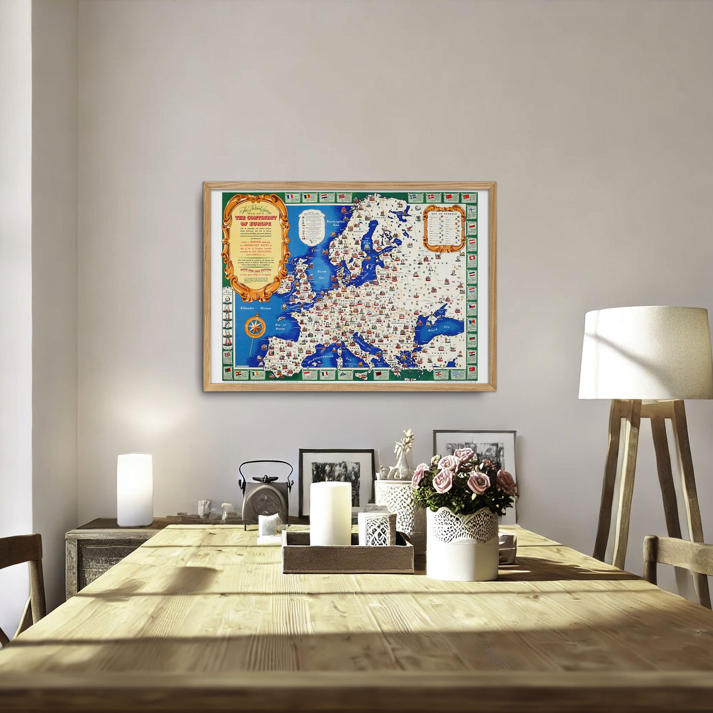
unless otherwise mentioned in the product description, frames etc. in the pictures are for decorative purposes only and are therefore not included.
Couldn't load pickup availability
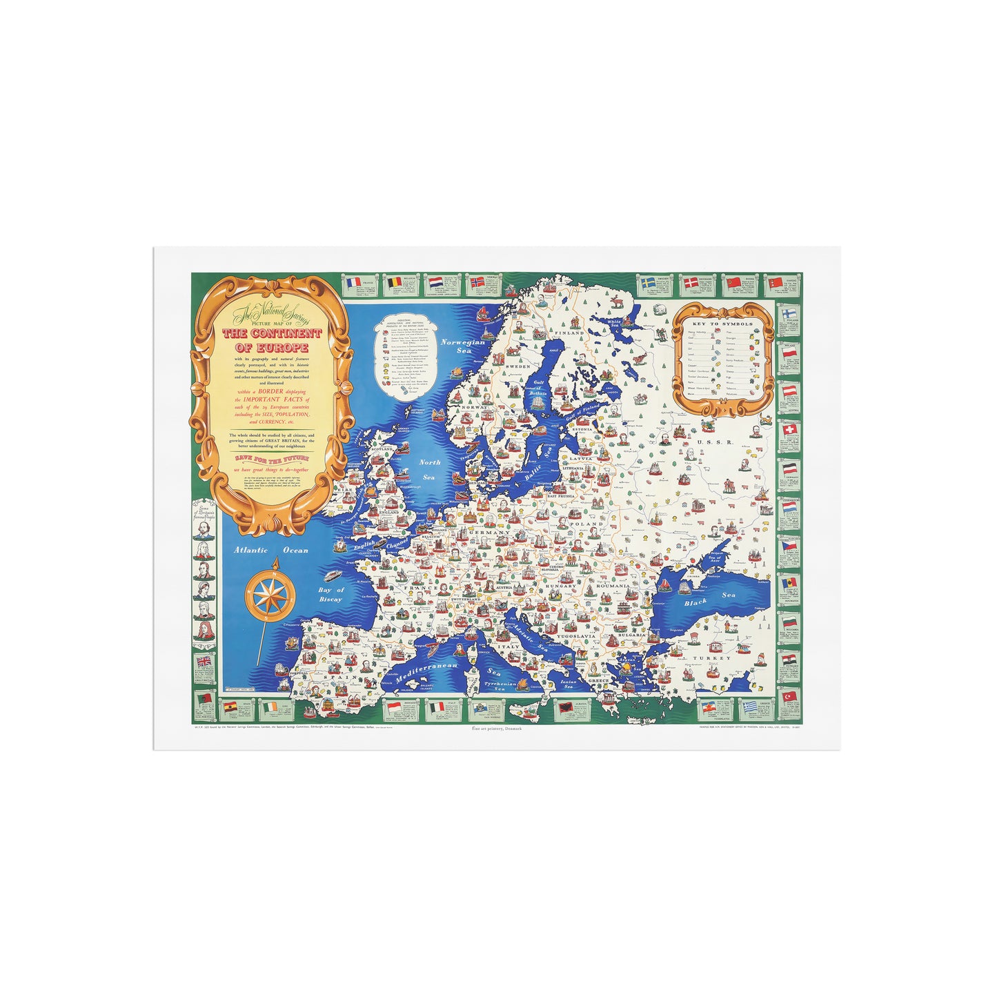
Original title: The National Savings Picture Map of the Continent of Europe.
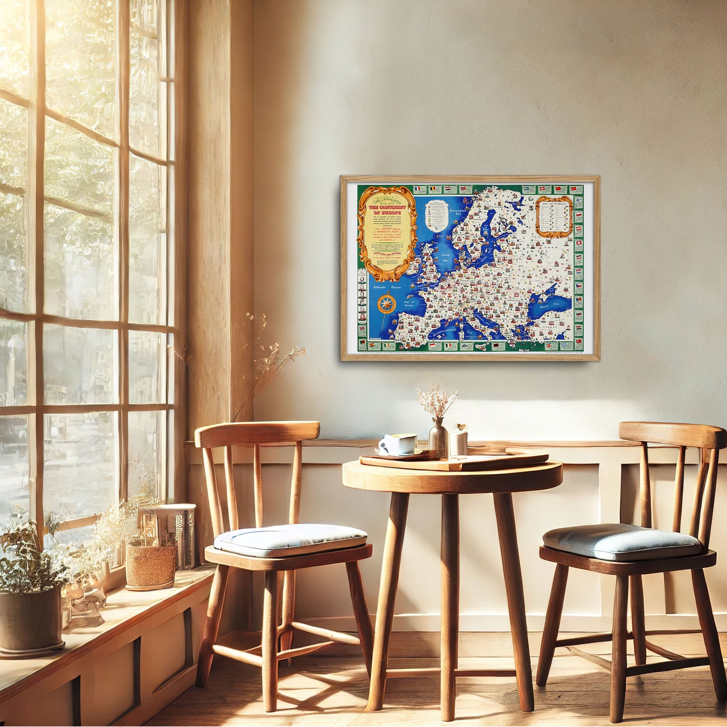
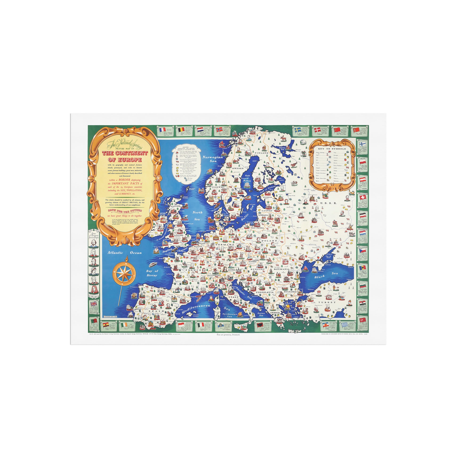
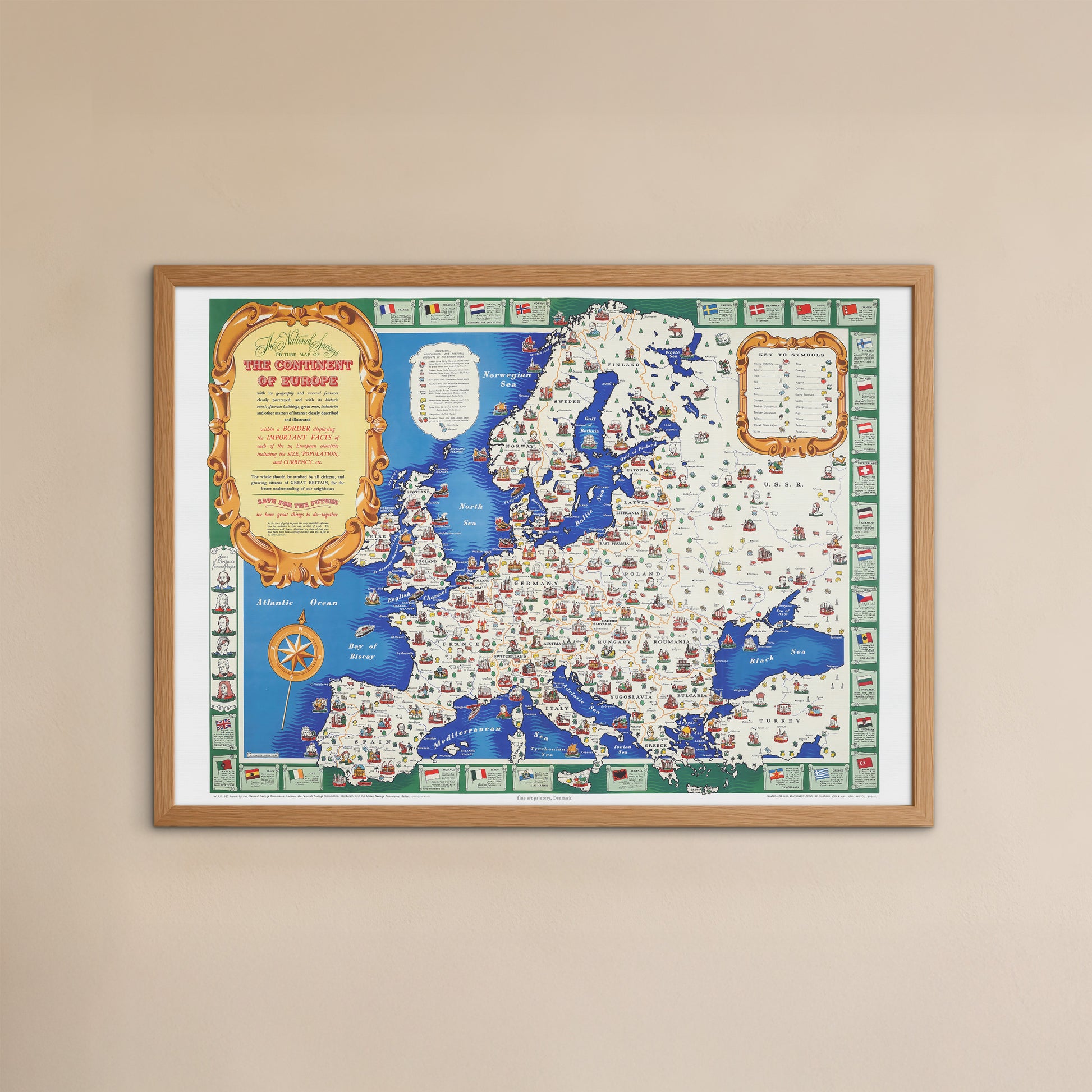
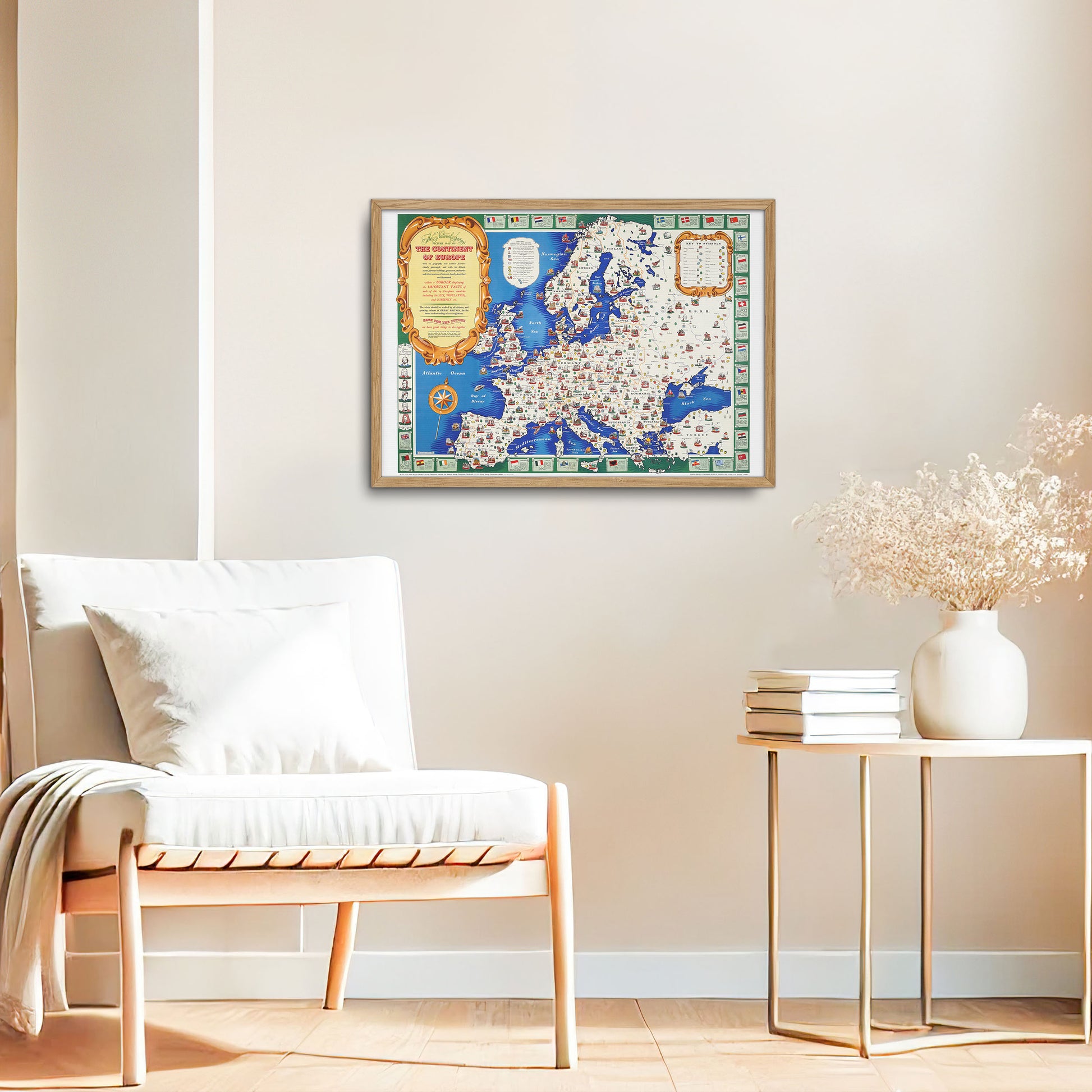
This 1945 pictorial map of Europe, created by H. Charles Paine and published by the National Savings Movement, serves as both a cultural and economic work of the postwar period. The map portrays Europe from Norway in the north to Crete and Turkey in the south and from the Atlantic Ocean to the Soviet Union. The main aim was to promote a better understanding of European neighbors immediately after the Second World War.
Overview of the card's functions:
The map is not only geographical but also cultural, highlighting both natural resources and key historical figures from various countries on the continent. Each country's economic commodities – such as coal, oil, timber and agricultural products such as wheat and oranges – are identified via a legend boxed in the upper right. In addition, important cities are represented by iconic landmarks (for example, the Tower of London for London, the Arc de Triomphe for Paris, and the Hagia Sophia for Istanbul).
Focus on cultural and historical figures:
One of the distinctive aspects of the map is its artistic rendering of famous European figures. Figures such as Voltaire, Goya, Rembrandt, Beethoven and Tolstoy are depicted in their respective regions and show the continent's cultural history. In addition, groups such as Bretons, Basques and Albanians are also represented, underscoring Europe's ethnic and regional diversity. British figures such as Shakespeare, Newton and Florence Nightingale appear on the edge of the map, creating a connection to Britain's contribution to history and the creation of the map.
Design and style:
Stylistically, the map is a colorful and lively rendering that balances information and art. Although it differs from the popular Macdonald Gill map style that characterizes much of early 20th century British cartography, Paine's work retains its own visual charm through detailed illustrations and creative design. The edge of the map, decorated with the flags of each European nation, also includes basic statistics such as population and currency, further illuminating the post-war situation.
Historical context and purpose:
The card's creation was closely linked to the National Savings Movement, which aimed to encourage citizens to invest in government-guaranteed savings during and after the war. A prominent motto on the card – "put money aside for the future" – was part of this wider campaign to help rebuild the British and European economies in the aftermath of the war. The card's release aligns with a sense of international cooperation and recovery, encouraging the British public to maintain financial prudence while appreciating European culture and geography.
Unique perspective:
What makes this map particularly remarkable is its mix of post-war optimism with a nostalgic look at Europe's artistic and cultural history. In a time of reconstruction and economic hardship, the map projects a vision of Europe not only as a continent defined by resources and goods, but as a mosaic of cultural and historical richness. The juxtaposition of economic pragmatism and cultural celebration provides a window into the thinking of the mid-1940s, as Europe sought to reconstruct both its cities and its shared identity.
