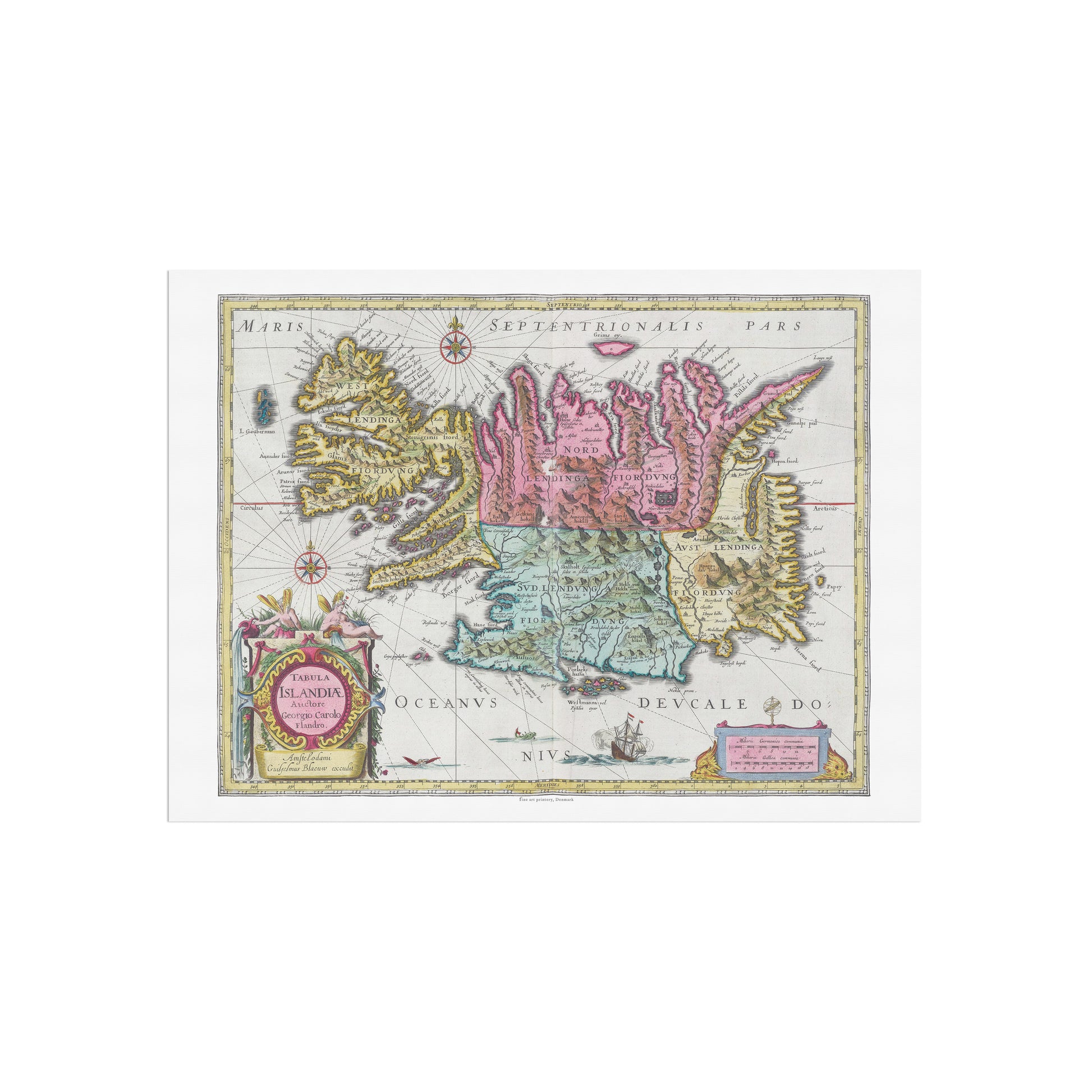
Experience the wild and mysterious nature of Iceland through one of history's most iconic maps. The "Tabula Islandiæ" poster is a stunning reproduction of a hand-colored map by legendary cartographer Joan Blaeu , originally published in his Atlas Maior from 1665.
The map provides a fascinating insight into the 17th century understanding of Iceland. It not only shows coastlines, mountains and fjords in impressive detail, but is also filled with mythological creatures that populated the then-contemporary image of the sea around Iceland. Every detail, from the colorful heraldic coats of arms to the intricate compass roses, attests to the map’s importance for navigation and exploration. The map’s title and dedication are beautifully framed by allegorical figures and mythical motifs.
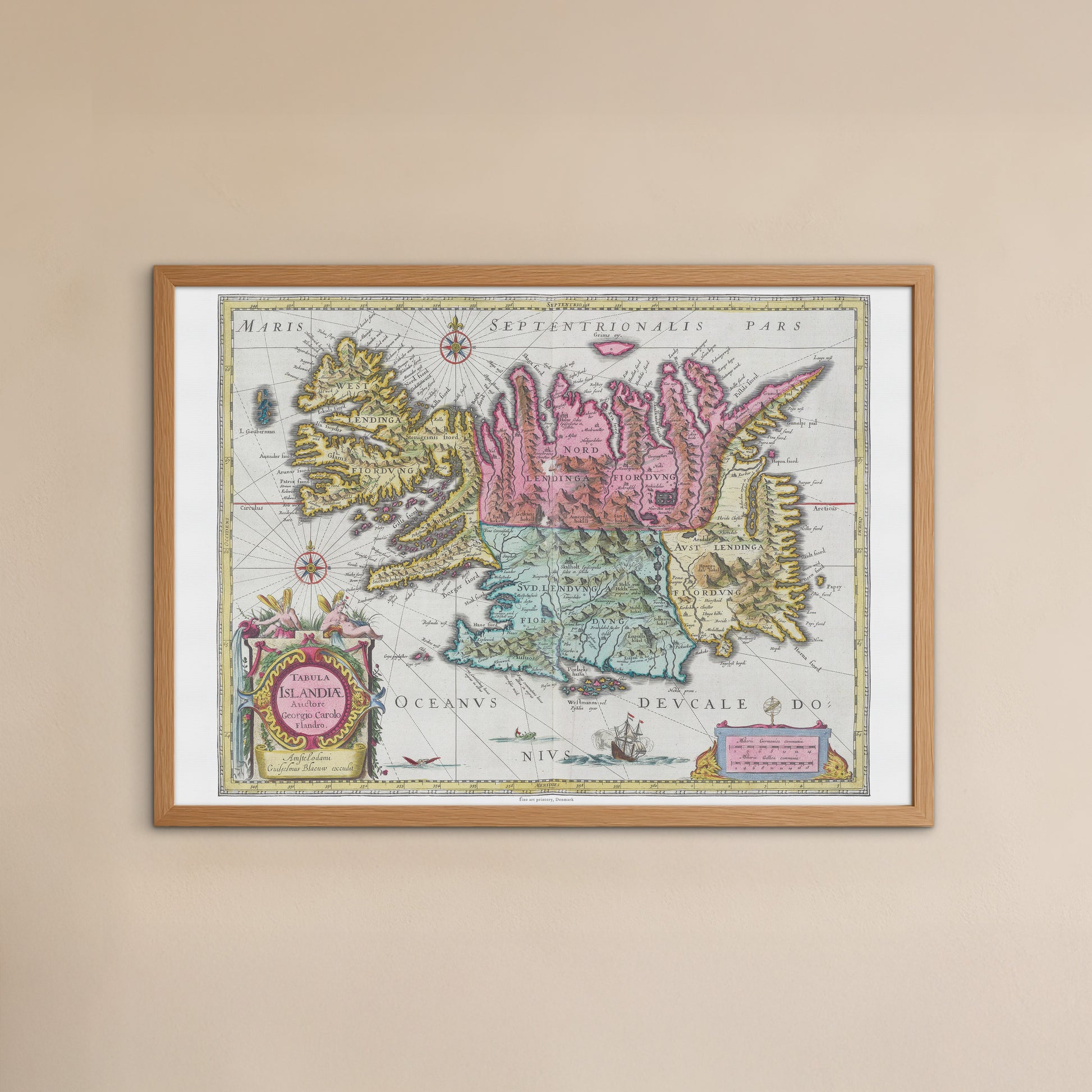
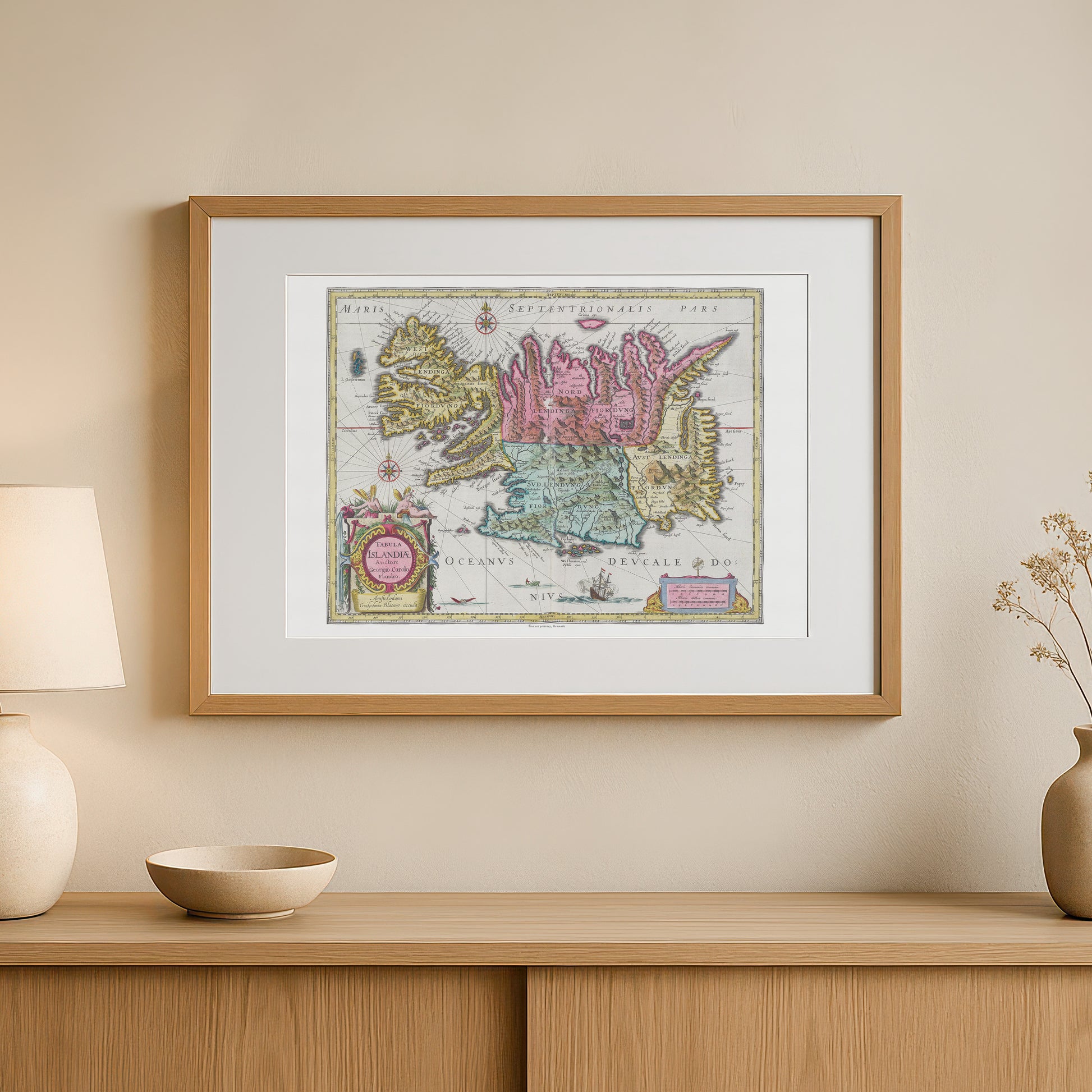
This poster is perfect for those who are fascinated by Iceland, history, cartography or are looking for a unique and stylish detail for your home decor. Hang it in your home office, living room or library to add a sophisticated and adventurous touch. It is a great conversation starter and a tribute to the explorers of the early days.