
Fine Art Printery
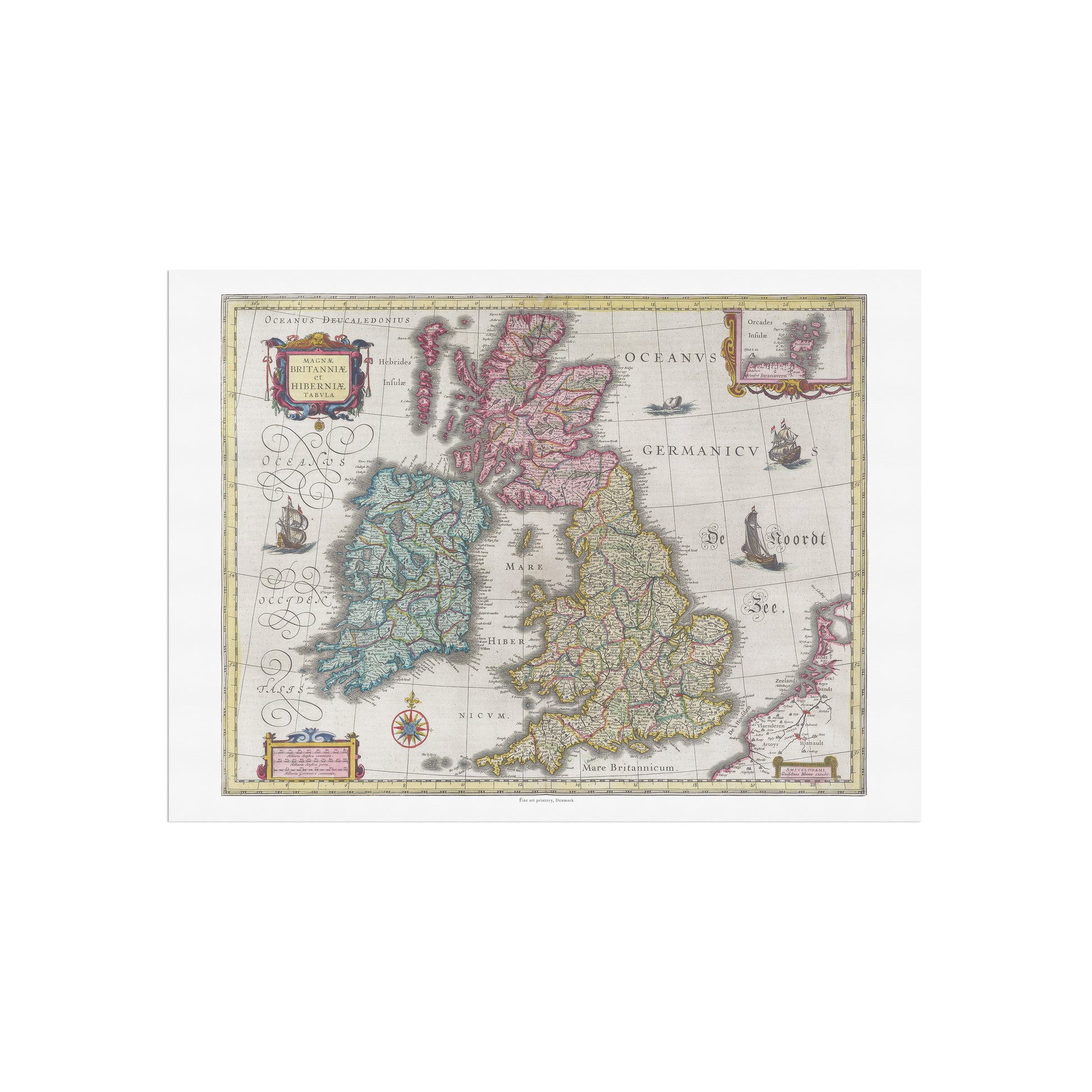
Historical Map of the British Isles: "Magnae Britanniae et Hiberniae Tabula" by Joan Blaeu (1665)
Historical Map of the British Isles: "Magnae Britanniae et Hiberniae Tabula" by Joan Blaeu (1665)
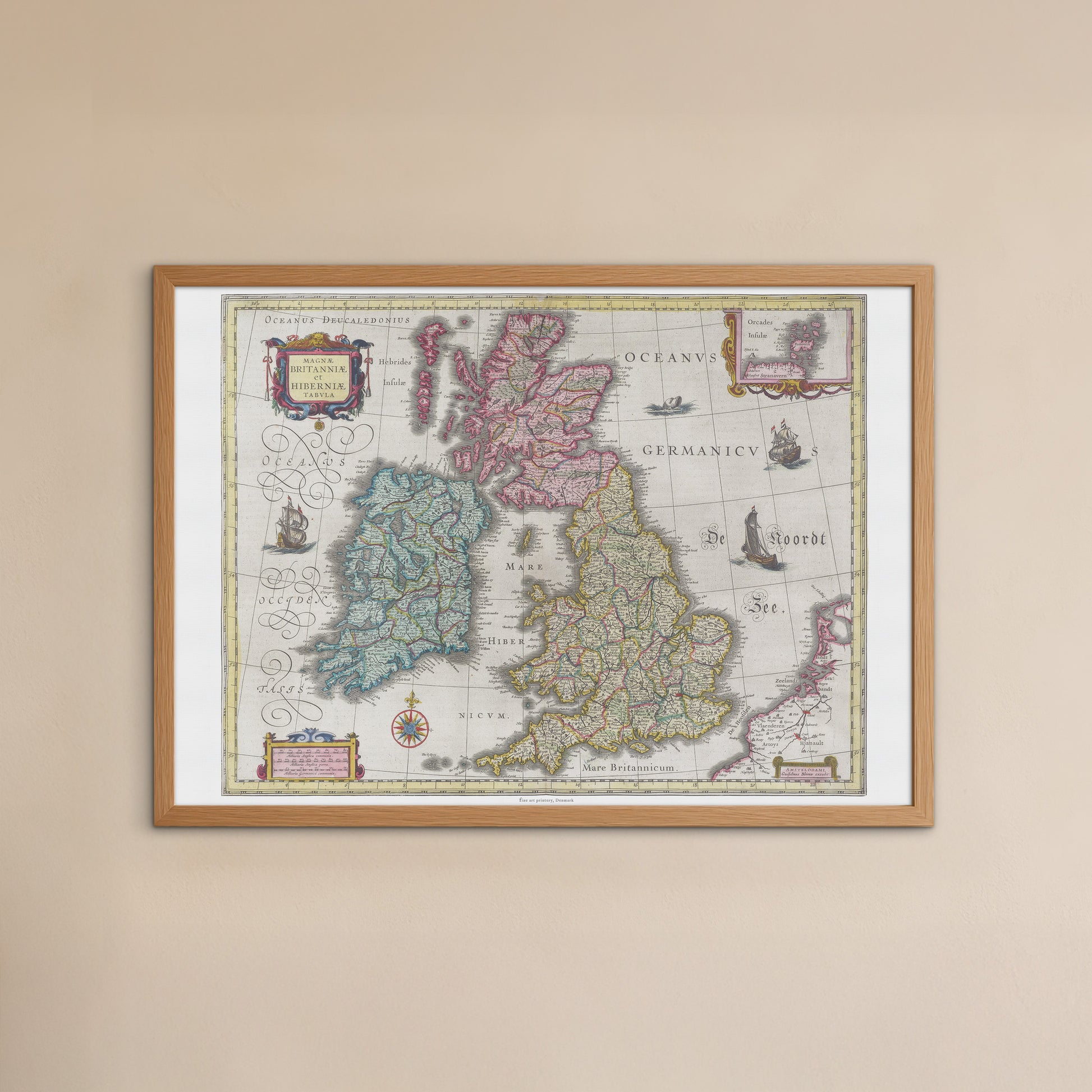
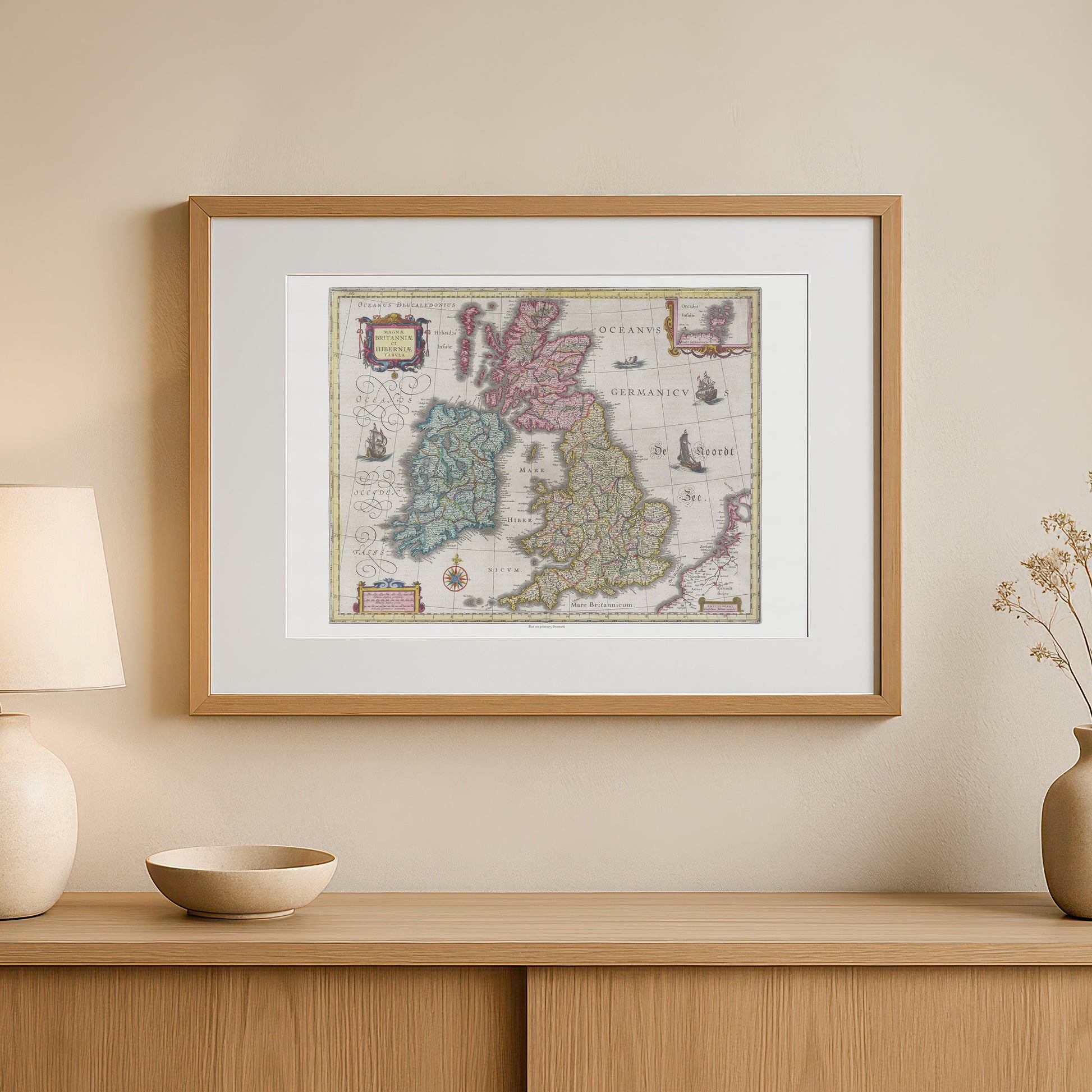
unless otherwise mentioned in the product description, frames etc. in the pictures are for decorative purposes only and are therefore not included.
Couldn't load pickup availability
Delve into history with this beautiful and detailed map of the British Isles . The poster "Magnae Britanniae et Hiberniae Tabula" is a faithful reproduction of a hand-colored map by renowned cartographer Joan Blaeu , originally published in his monumental work, Atlas Maior , in 1665.
This map provides a fascinating insight into what England, Scotland and Ireland looked like in the 17th century, before the unification of Great Britain. The map is a masterpiece that combines scientific accuracy with a unique artistic style. Each region is delineated with fine lines and delicate pastel colors, creating a motif that is both functional and aesthetically pleasing. The map is richly decorated with beautiful, ornate cartouches that contain information about the map and its origins, as well as a coat of arms and two smaller maps of the Shetland Islands and the Faroe Islands respectively.
This poster is the perfect gift for history buffs, travelers , and anyone with a special connection to Great Britain and Ireland. It would fit perfectly in a home office, living room, or library, where it would add a sophisticated and historical touch.


