
Fine Art Printery
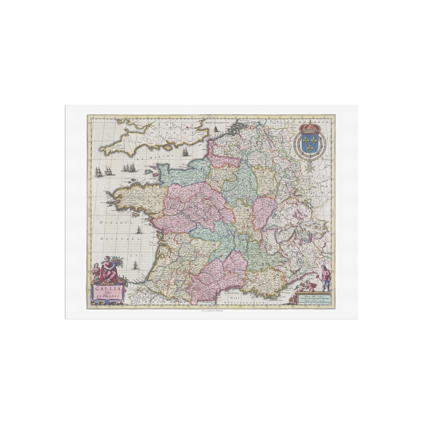
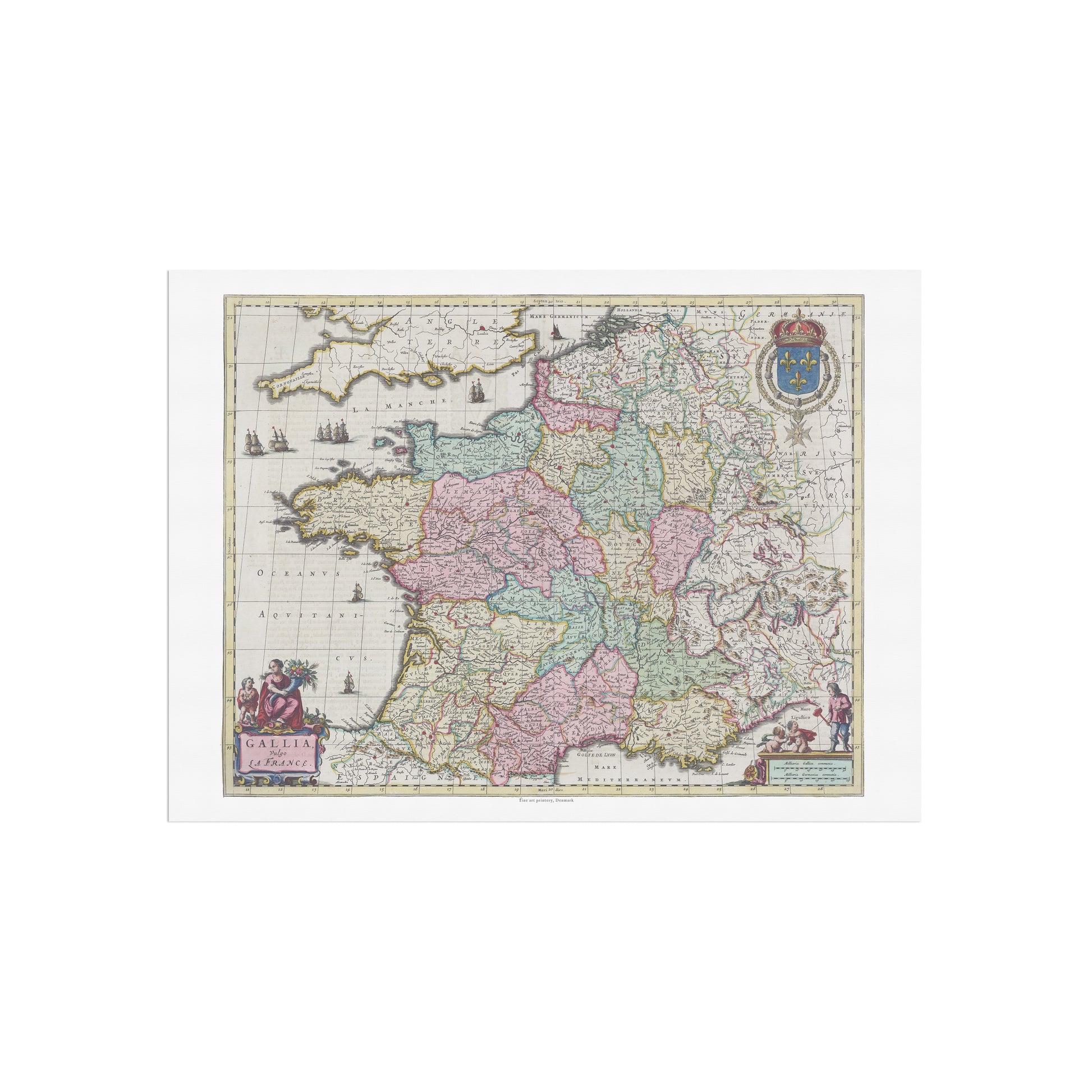
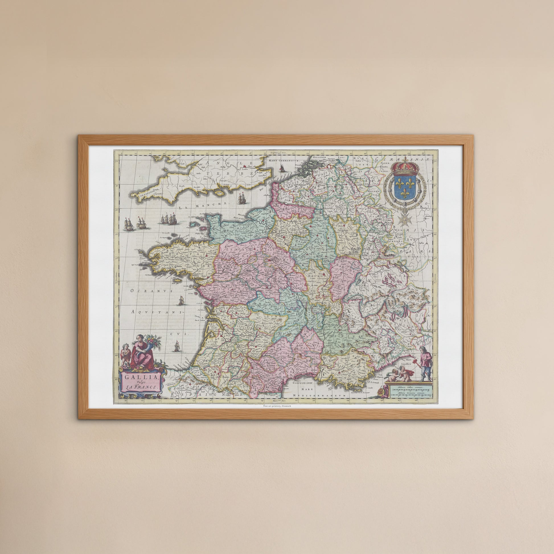
Historical Map of France: "Gallia Vulgo La France" by Joan Blaeu (1662)
Historical Map of France: "Gallia Vulgo La France" by Joan Blaeu (1662)
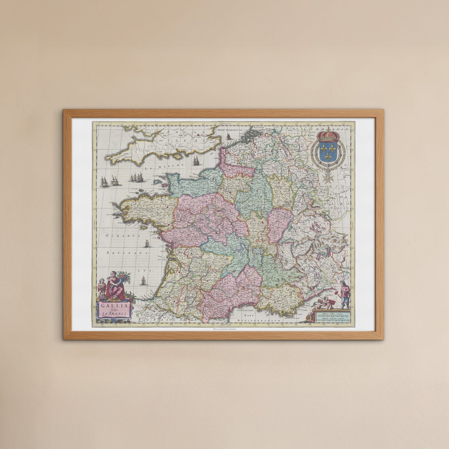
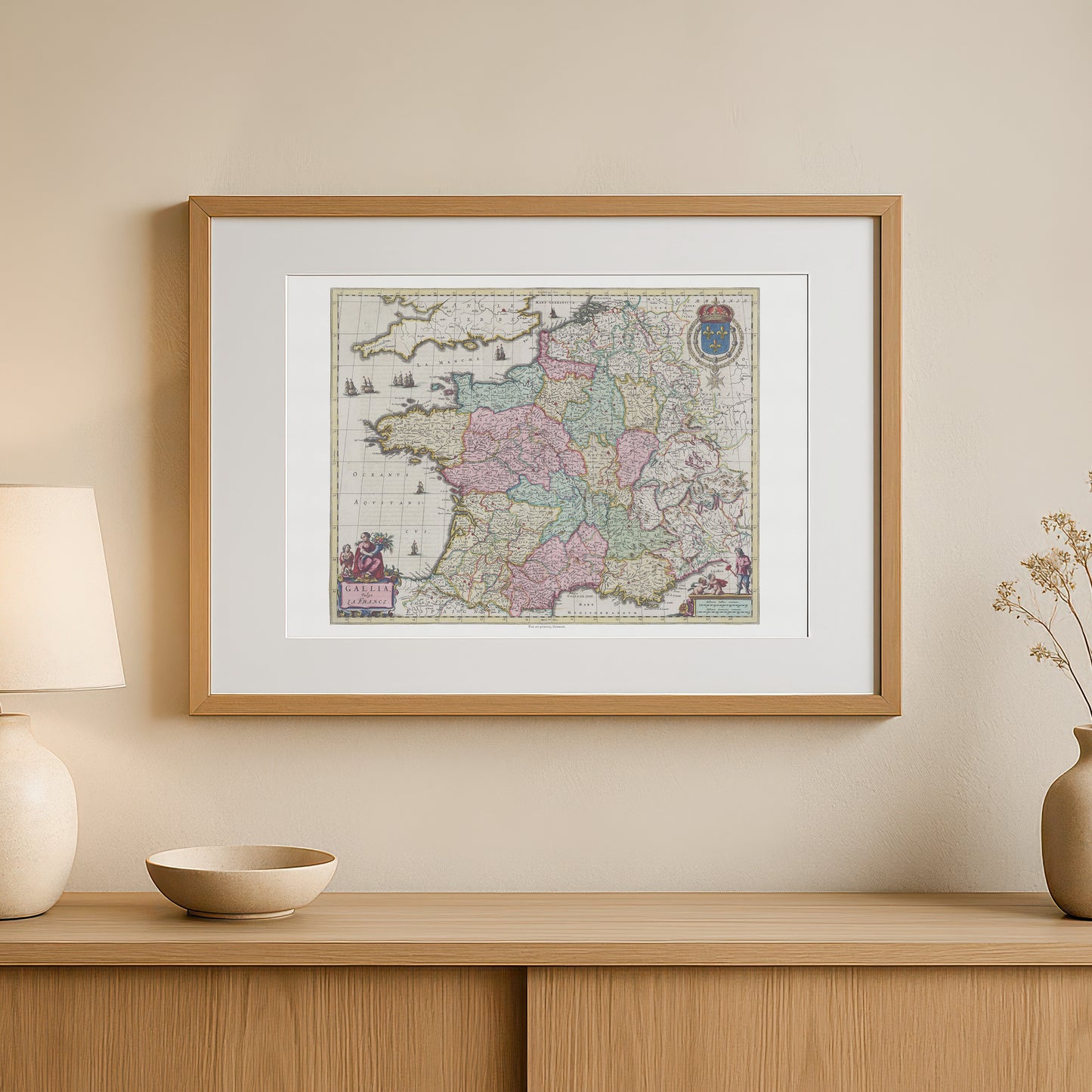
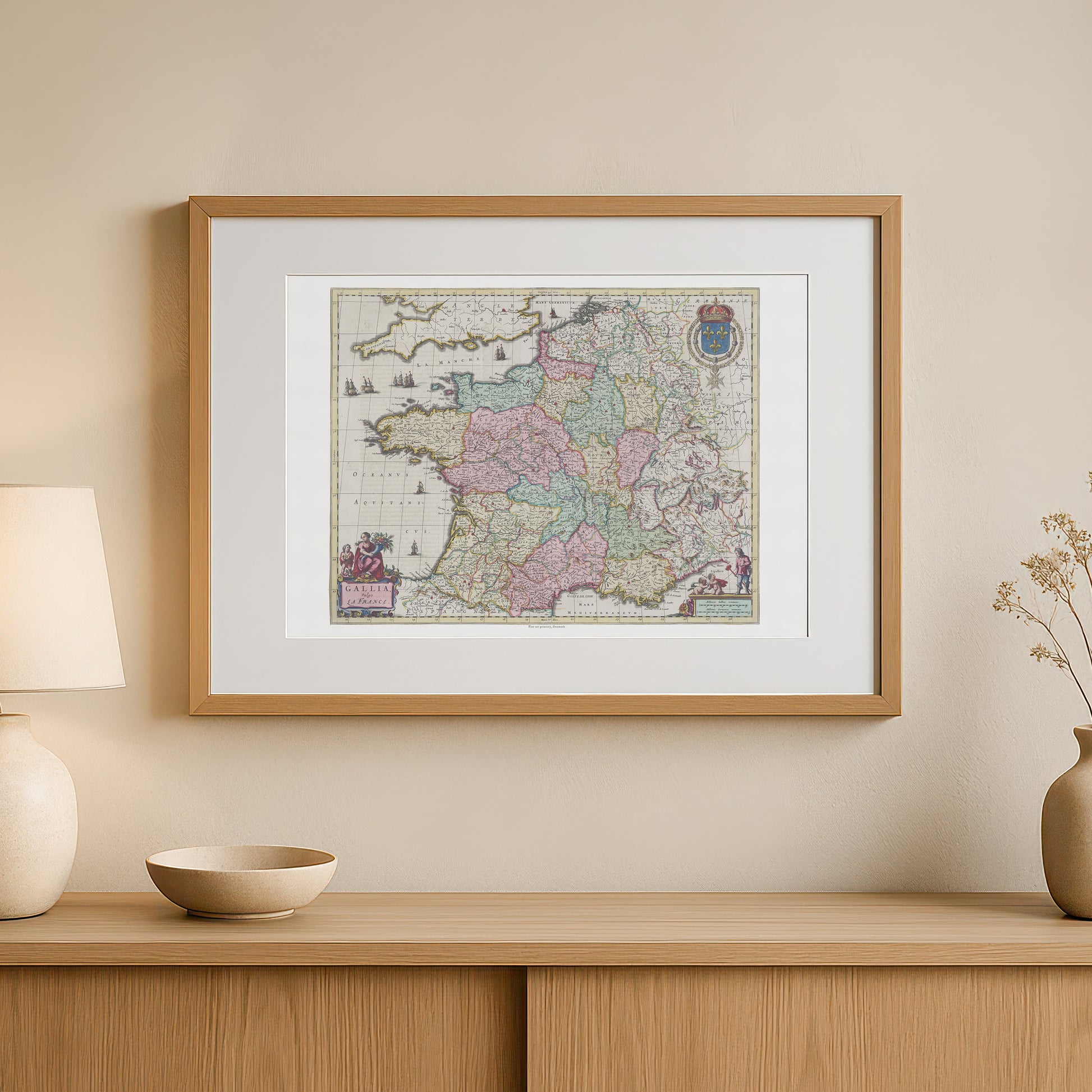
unless otherwise mentioned in the product description, frames etc. in the pictures are for decorative purposes only and are therefore not included.
Couldn't load pickup availability
Bring a piece of French history and a masterpiece of cartography into your home with this elegant map of France. "Gallia Vulgo La France" is one of the most iconic maps from Joan Blaeu's famous Atlas Maior , published in Amsterdam in 1662. This map is not only an accurate geographical depiction of France; it is an exquisite work of art that captures the spirit of the 17th century.
The poster is a detailed reproduction of the original hand-colored map, showing the regions, rivers and major cities of France. Each region is colored with delicate pastel colors, giving the map a soft and elegant aesthetic. Along the edges you will find beautiful, allegorical figures and ornate cartouches that symbolize the greatness of France, including the French royal coat of arms. The motif reflects the historical fascination with exploration and the visual beauty that was characteristic of the Dutch Golden Age.
This poster is the perfect choice for those who love history, geography, French culture , or are looking for a unique and stylish detail for their interior. It fits perfectly in an office, living room or library, where it will add a sophisticated and historical touch. The poster is printed in high quality, ensuring that every fine line and color nuance appears sharp and vivid, just like in the original.