
Fine Art Printery
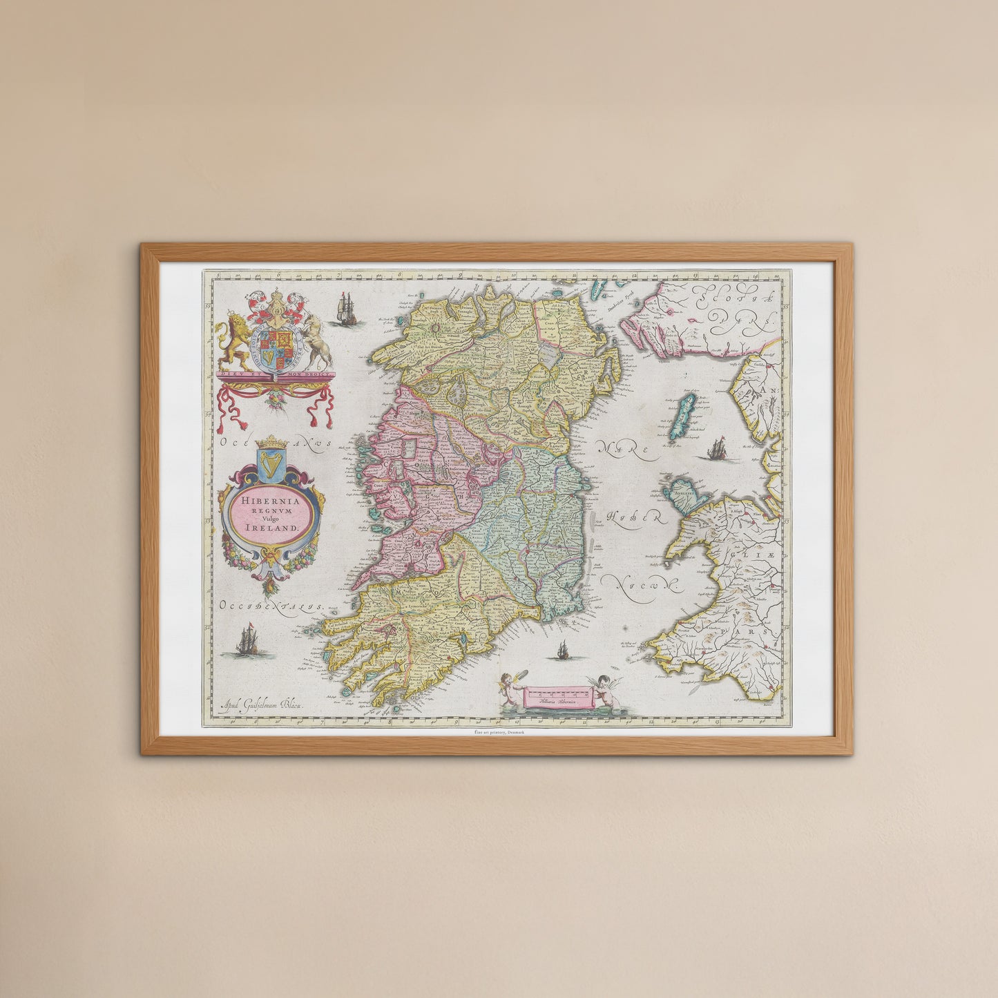
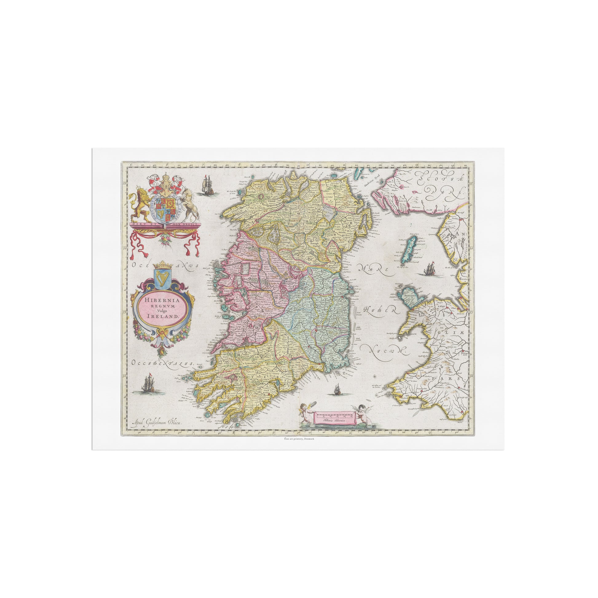
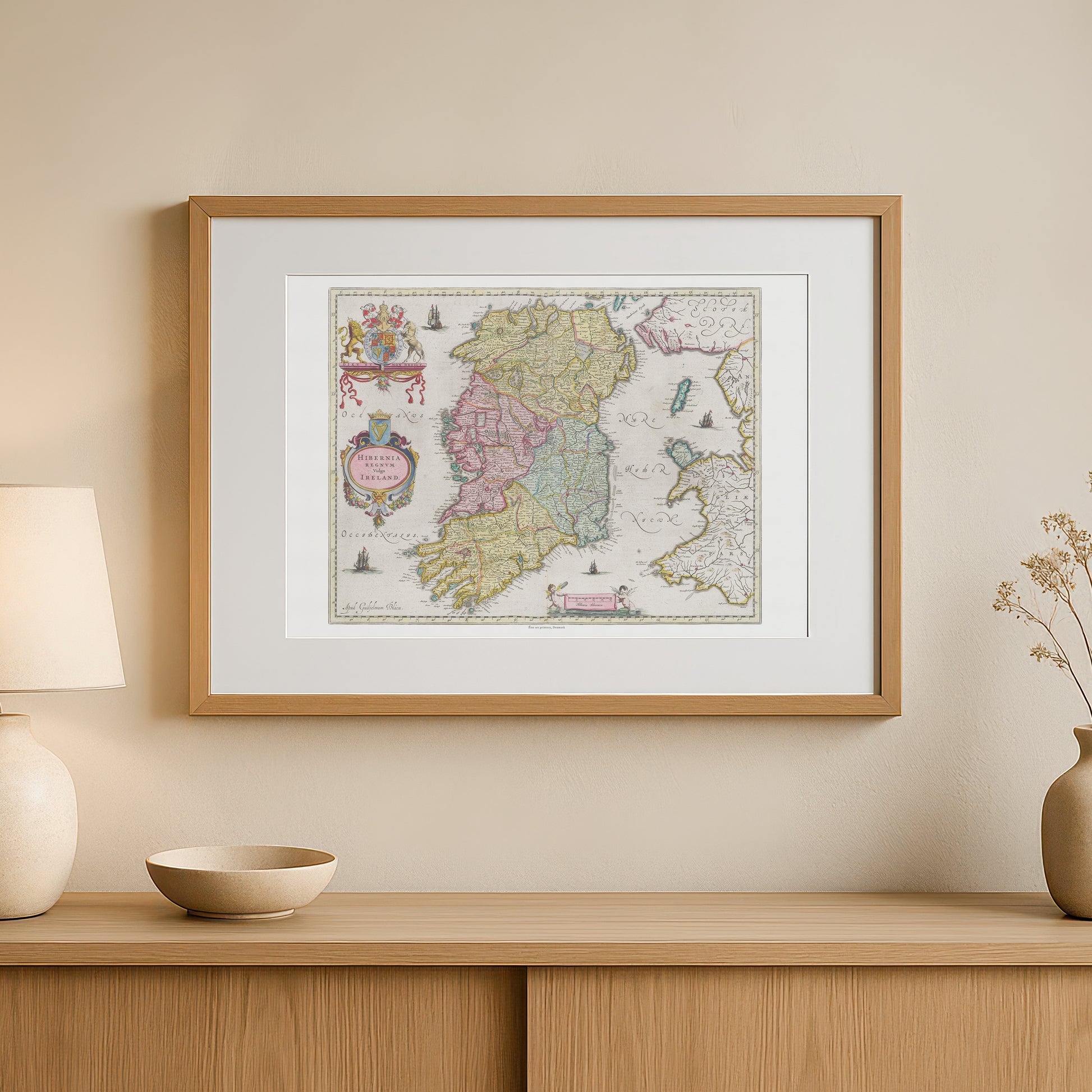
Historical map of Ireland, "Hibernia Regnvm vulgo Ireland" by Joan Blaeu (1665)
Historical map of Ireland, "Hibernia Regnvm vulgo Ireland" by Joan Blaeu (1665)
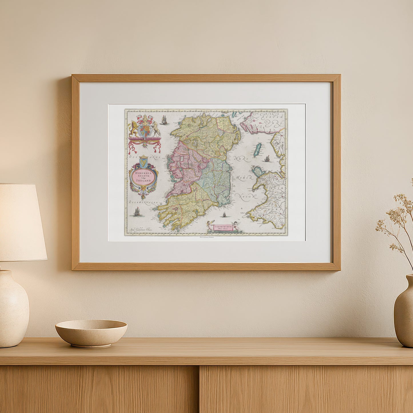
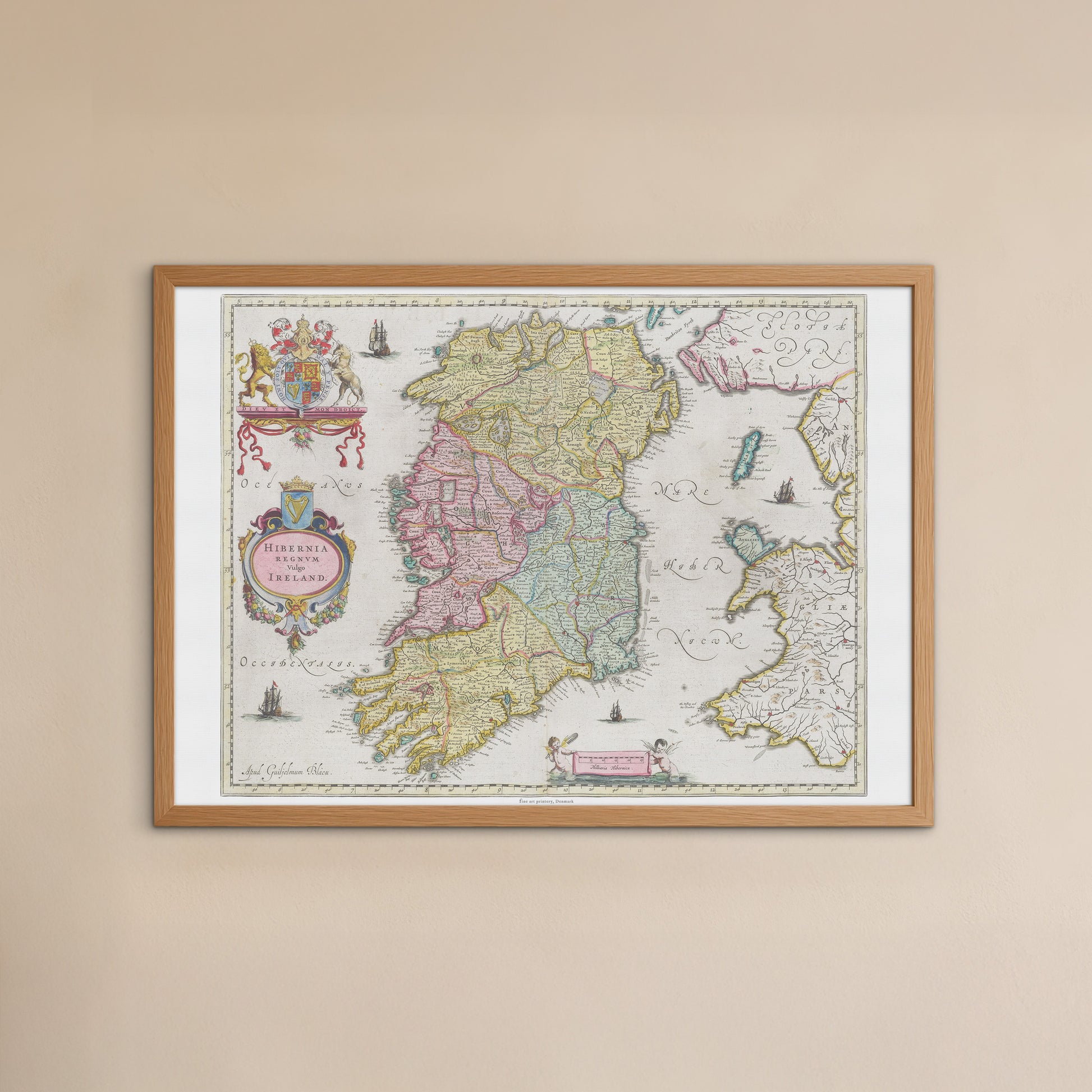
unless otherwise mentioned in the product description, frames etc. in the pictures are for decorative purposes only and are therefore not included.
Couldn't load pickup availability
Discover Ireland's rich history and beautiful landscape through one of history's most famous maps. The "Hibernia Regnvm vulgo Ireland" poster is a faithful reproduction of a hand-colored map by renowned cartographer Joan Blaeu , originally published in his monumental work, Atlas Maior , in 1665.
This map provides a fascinating insight into what Ireland looked like in the 17th century. It shows in impressive detail the country’s four provinces – Leinster, Munster, Connaught and Ulster – as well as coastlines, rivers and major cities. The map is not only an accurate geographical representation; it is also a work of art, richly decorated with beautiful, ornate elements. You’ll find ships at sea, a detailed compass rose and an elegant cartouche with the Irish coat of arms and a title frame. Each province is coloured in delicate pastels, giving the map an aesthetic that is both elegant and historically accurate.
This poster is the perfect gift for history buffs, travelers , and anyone with a special connection to Ireland. It would fit perfectly in a home office, living room, or library, where it would add a sophisticated and historical touch.