Fine Art Printery
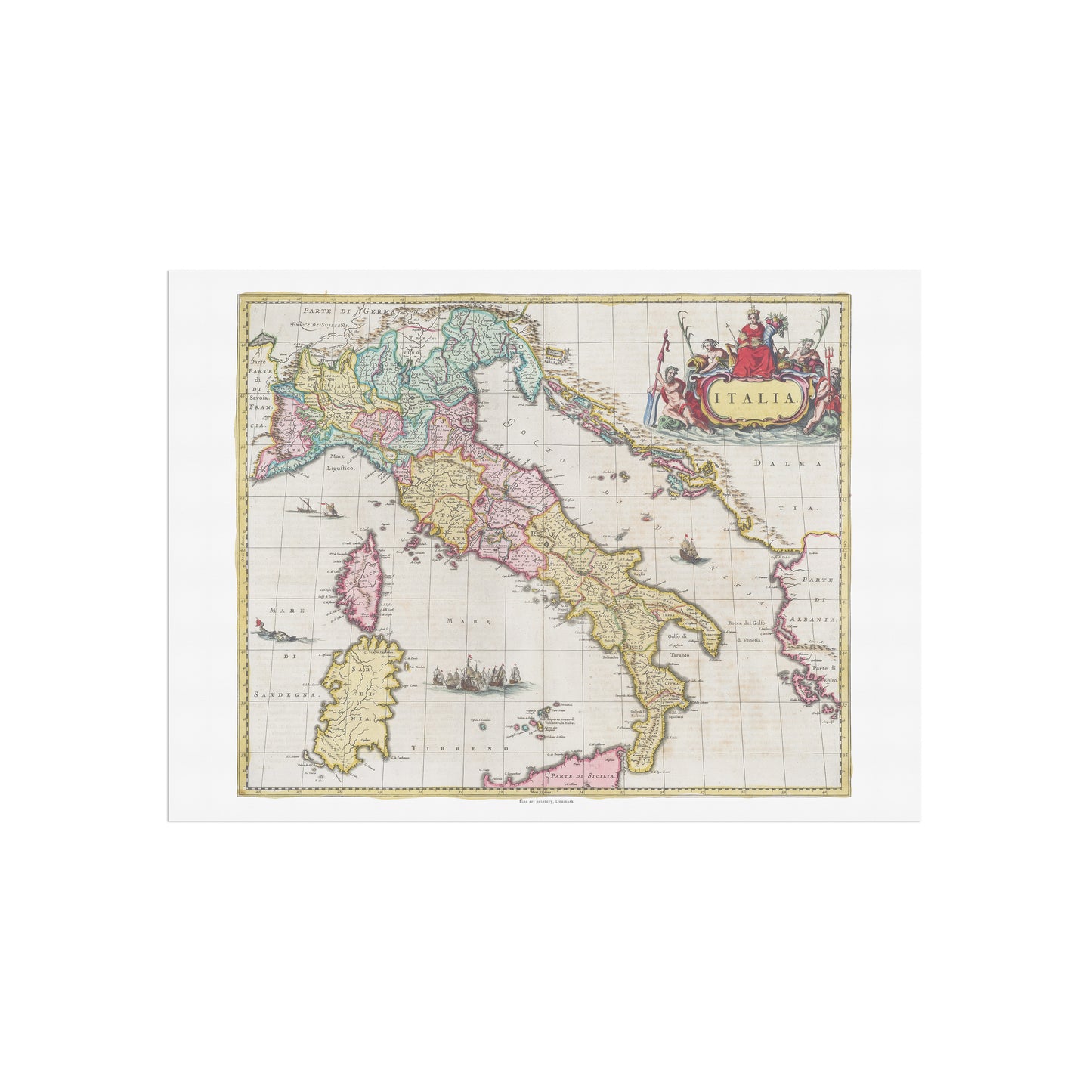
Historical Map of Italy: "Italia" by Joan Blaeu (1665)
Historical Map of Italy: "Italia" by Joan Blaeu (1665)
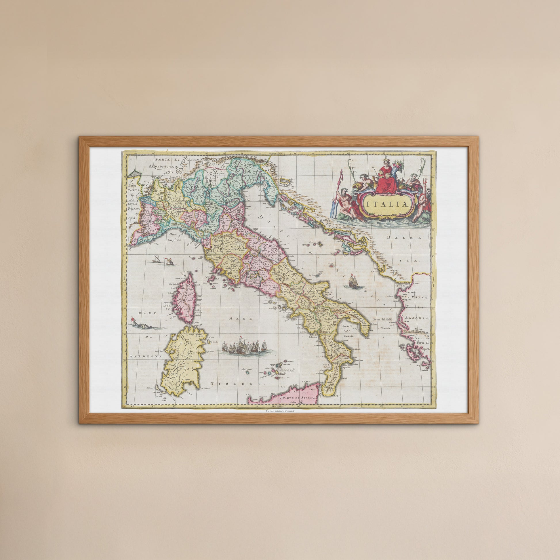
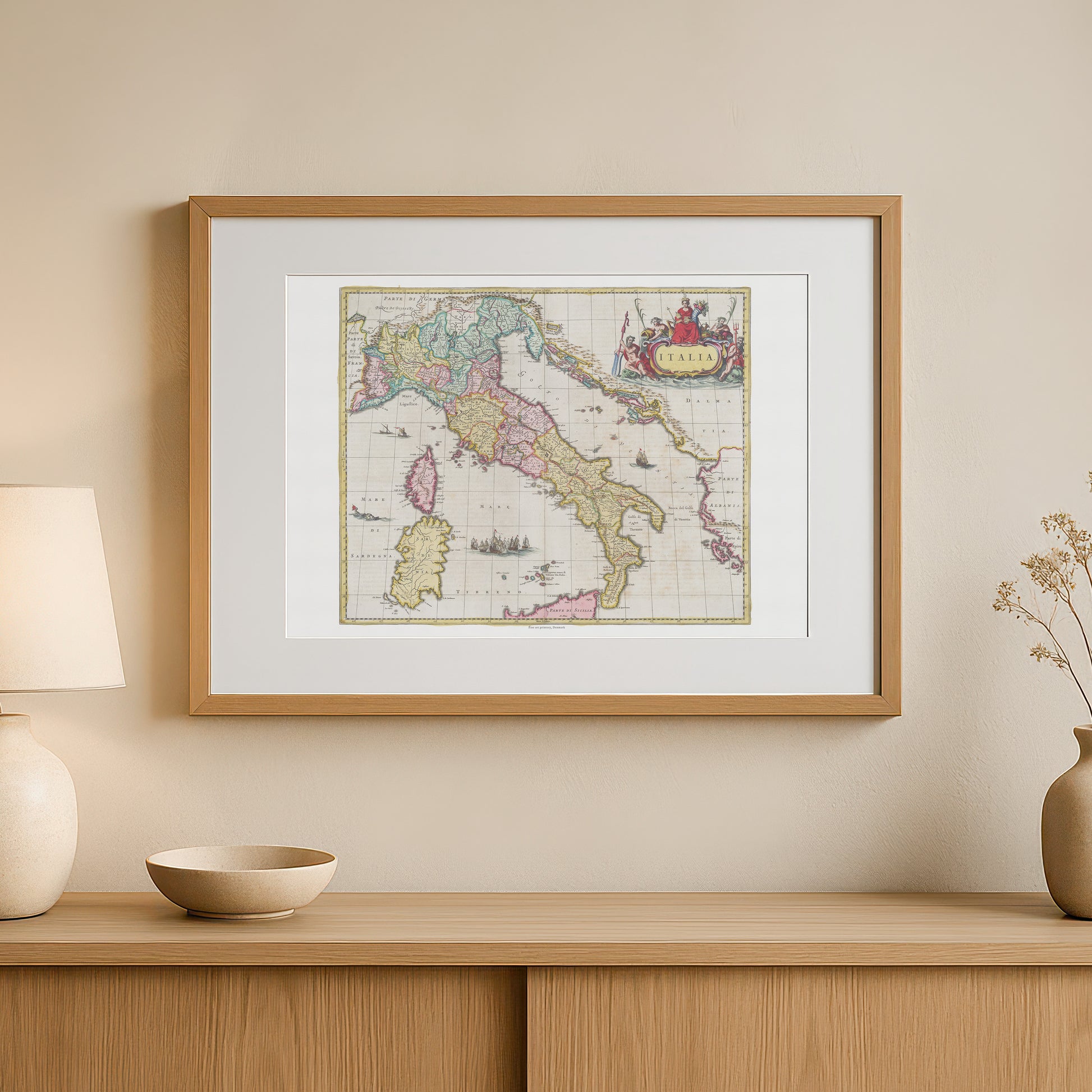
unless otherwise mentioned in the product description, frames etc. in the pictures are for decorative purposes only and are therefore not included.
Couldn't load pickup availability
Discover the rich history and beautiful geography of Italy through this breathtaking 17th century map. The poster "Italia" is a faithful reproduction of a hand-colored map by renowned cartographer Joan Blaeu , originally published in his monumental work, Atlas Maior , in 1665.
This map provides a fascinating insight into what the Italian peninsula looked like at a time of great cultural and political importance. The map shows with impressive precision all the regions, from the Alps in the north to Sicily in the south. It is a masterpiece that combines scientific accuracy with a unique artistic style. The map is richly decorated with beautiful, ornate elements, including an elegant cartouche with the title "Italia" and allegorical figures symbolizing the power and wealth of the sea. The colors are fine and delicate, giving the map an aesthetic that is both elegant and historically correct.
This poster is the perfect gift for Italy lovers, history enthusiasts, travelers , and anyone fascinated by Italy's rich history and culture. It would fit perfectly in a home office, living room, or library, where it would add a sophisticated and historical touch.