
Fine Art Printery
Historical Map of the Netherlands: "Belgica Foederata" by Joan Blaeu (1665)
Historical Map of the Netherlands: "Belgica Foederata" by Joan Blaeu (1665)
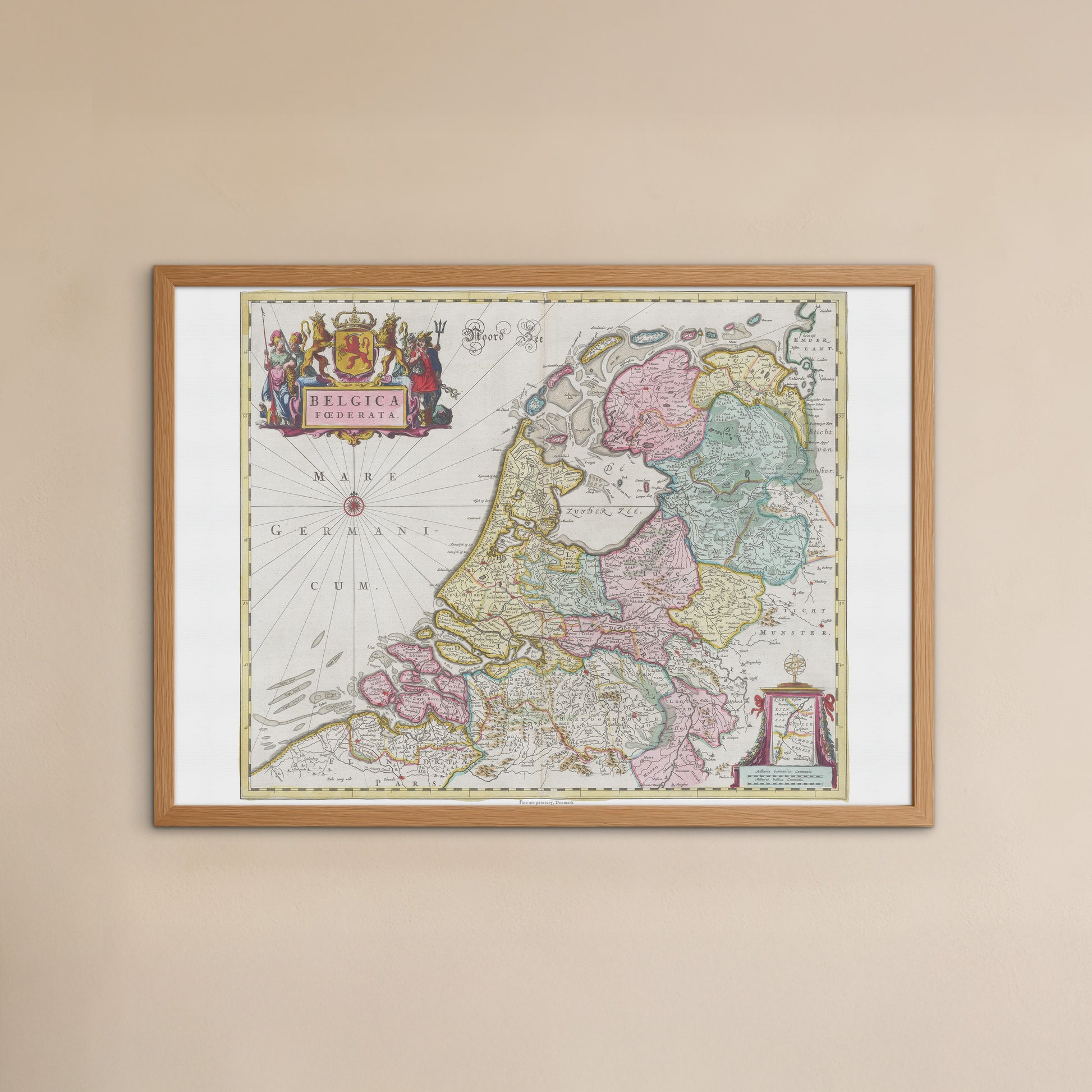
unless otherwise mentioned in the product description, frames etc. in the pictures are for decorative purposes only and are therefore not included.
Couldn't load pickup availability
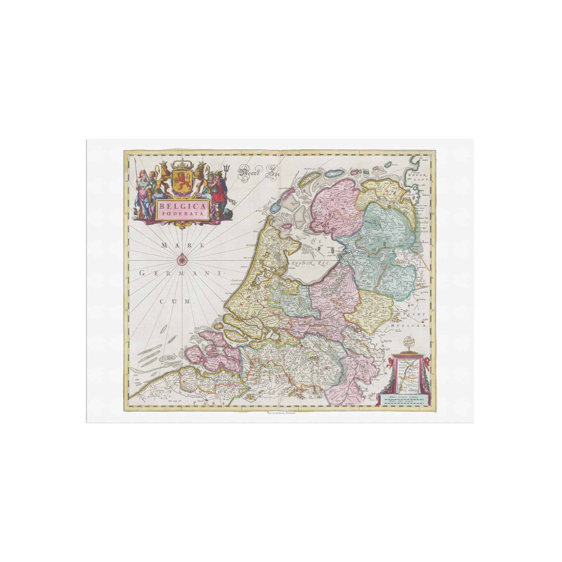
Take a journey back to the Dutch Golden Age with this magnificent map. The poster "Belgica Foederata" is a faithful reproduction of a hand-colored map by renowned cartographer Joan Blaeu , originally published in his monumental work, Atlas Maior , in 1665.
This map provides a fascinating insight into the United Netherlands , also known as the Dutch Republic, in the 17th century. It shows with great precision the provinces of Holland, Zeeland and Friesland in the northern part of the Netherlands. The map is a masterpiece that combines scientific accuracy with a unique artistic style. Each province is delineated with fine lines and delicate pastel colors, creating a motif that is both functional and aesthetically pleasing.
The visual style is incredible. The map's title is placed in a magnificent cartouche in the upper left corner, beautifully decorated with allegorical figures and a coat of arms symbolizing power and wisdom. In the North Sea, a detailed compass rose is placed, testifying to the map's importance for navigation and trade at a time when the Netherlands was a global maritime power.
This poster is the perfect gift for history buffs, travelers , and anyone with a special connection to the Benelux countries. It will fit perfectly in a home office, living room, or library, where it will add a sophisticated and historical touch.


