Fine Art Printery
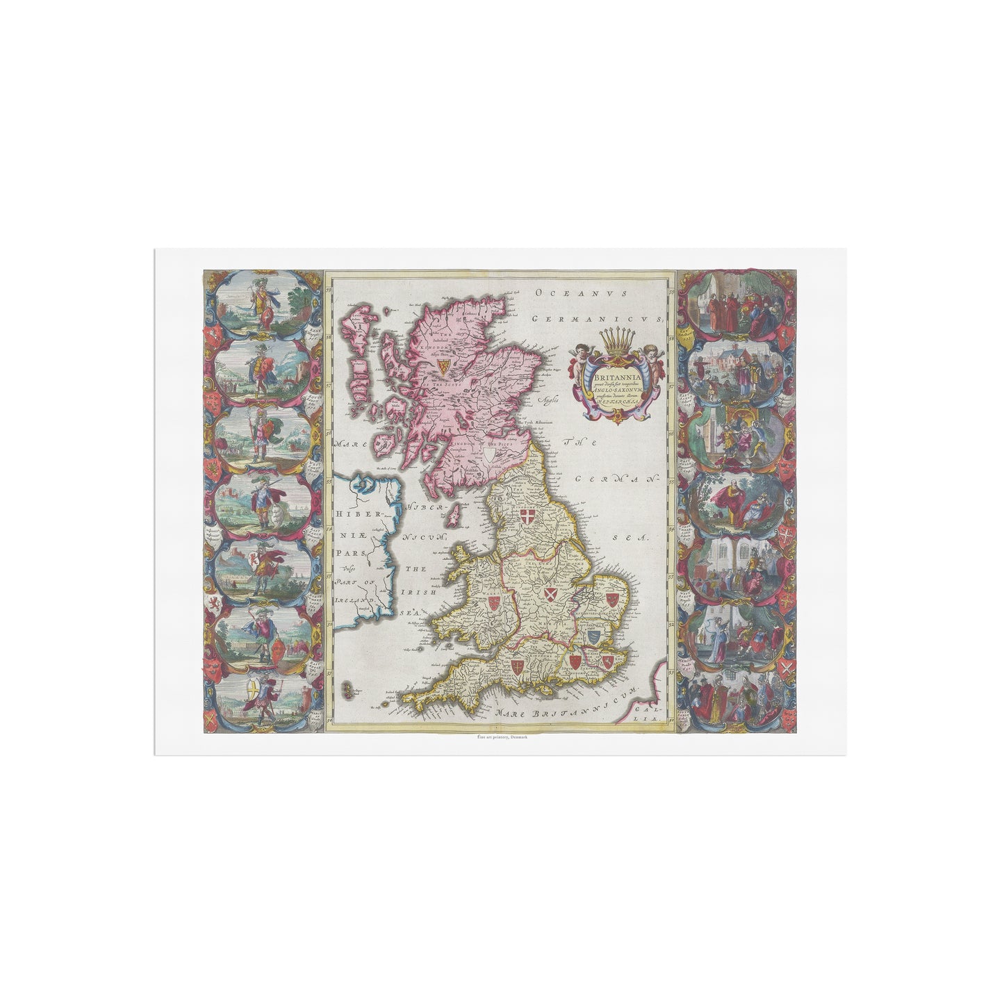
Historical Map of Great Britain: "Britannia prout divisa fuit temporibus Anglo-Saxonum" by Joan Blaeu (1665)
Historical Map of Great Britain: "Britannia prout divisa fuit temporibus Anglo-Saxonum" by Joan Blaeu (1665)
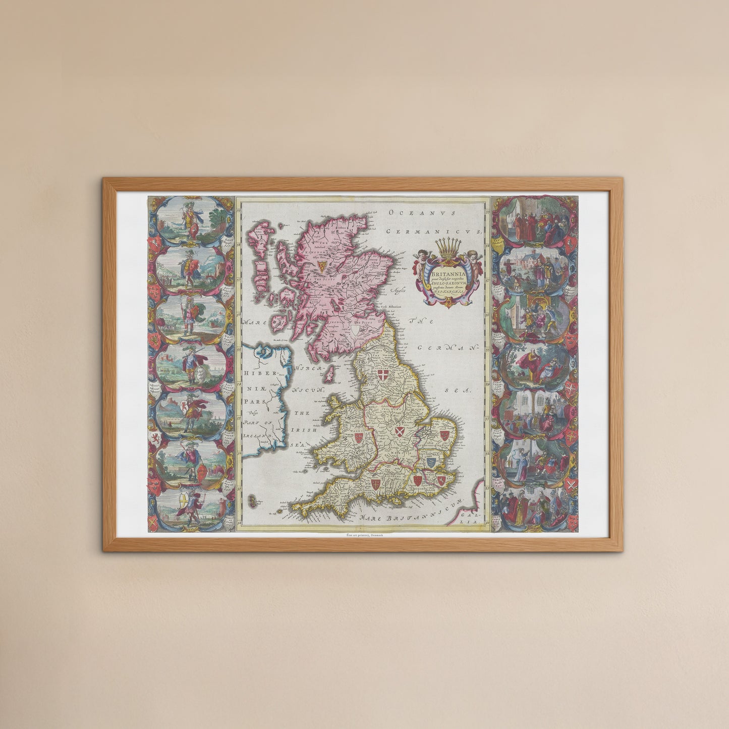
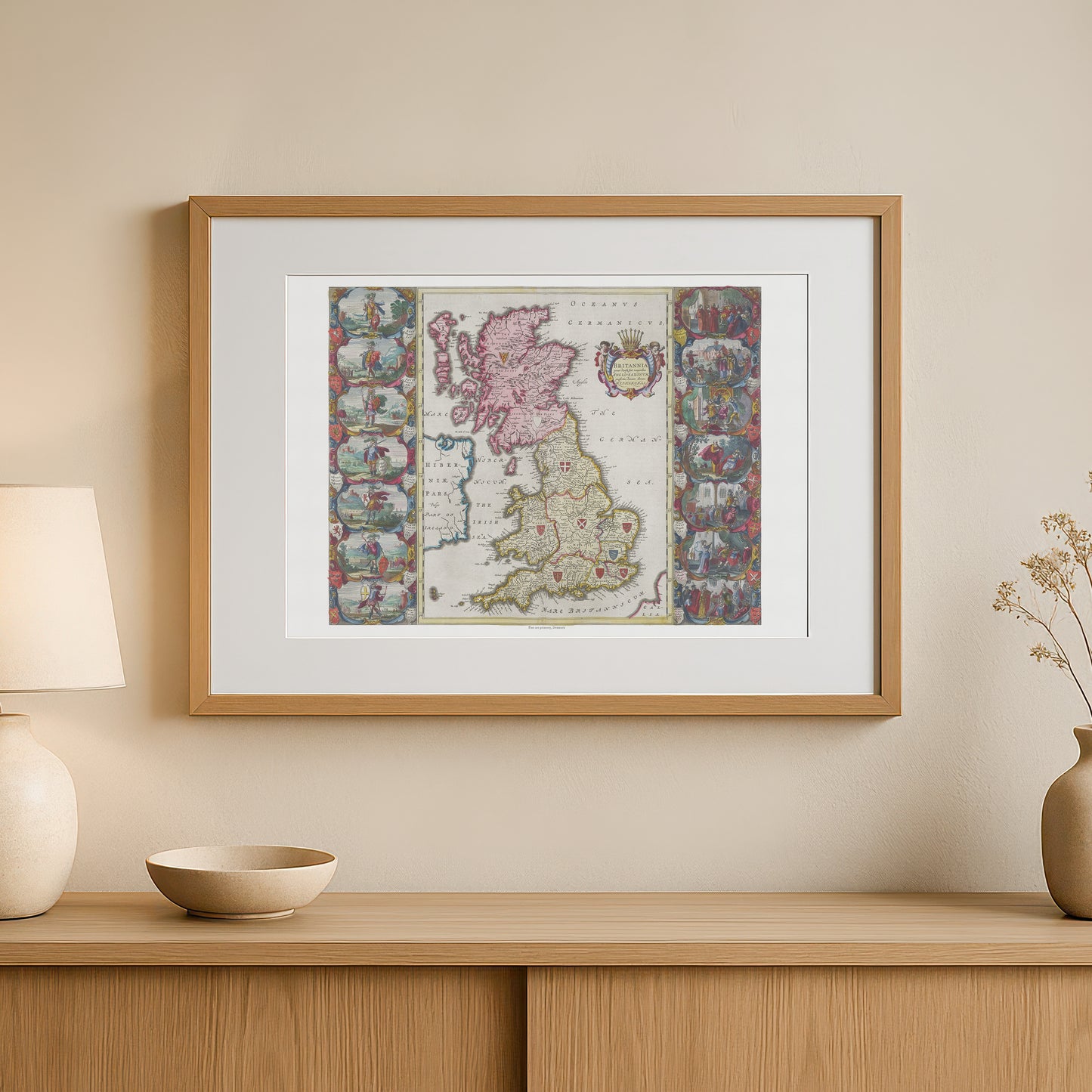
unless otherwise mentioned in the product description, frames etc. in the pictures are for decorative purposes only and are therefore not included.
Couldn't load pickup availability
Delve into early British history with this unique map of Britain as it appeared in Anglo-Saxon times. The poster "Britannia prout divisa fuit temporibus Anglo-Saxonum" is a faithful reproduction of a hand-colored map by renowned cartographer Joan Blaeu , originally published in his monumental work, Atlas Maior , in 1665.
This map is more than just a geographical document; it is a historical work of art. It shows the political divisions of England into the various Anglo-Saxon kingdoms of Mercia, Wessex and Northumbria , as well as Scotland. The map is richly decorated with historical details:
-
Decorative side panels: Along the sides are decorated with illustrations of scenes and figures from Anglo-Saxon times, contributing to the map's historical narrative and artistic value.
-
Heraldic Coats of Arms: The many heraldic shields represent the various Anglo-Saxon kingdoms, emphasizing the map's focus on the political structure of the period.
-
Elegant cartouche: The title is placed in a beautiful, ornate cartouche with classical motifs and a coat of arms, signaling the card's authority and historical significance.
This poster is the perfect gift for history buffs, travelers and anyone fascinated by Britain's early history. It would fit perfectly in a home office, living room or library, where it would add a sophisticated and historic touch. The poster is printed in high quality, ensuring that every fine line and nuance of color appears sharp and vivid, just like the original.