
Fine Art Printery
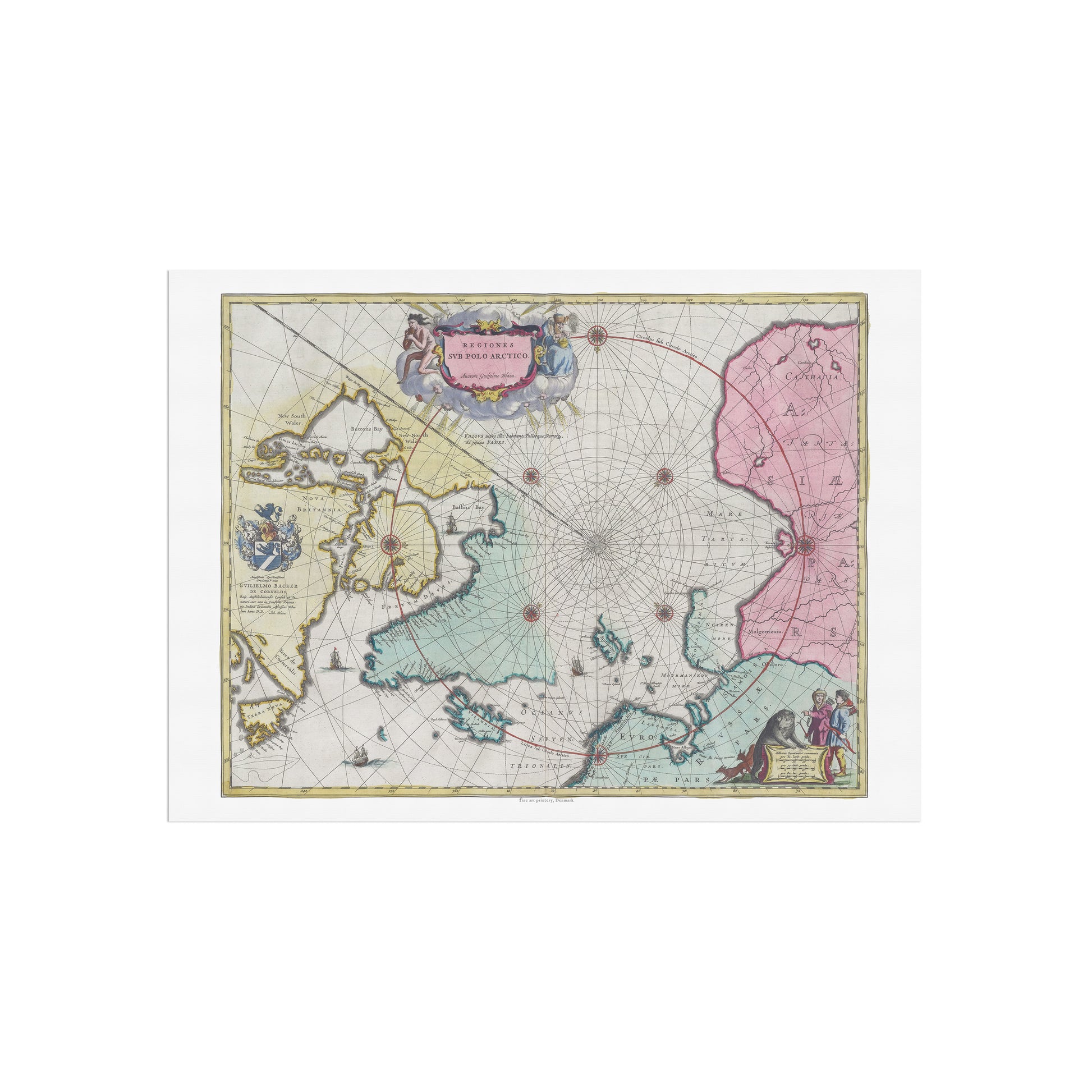
Historical Polar Map: "Regions Sub Polo Arctico" by Joan Blaeu (1665)
Historical Polar Map: "Regions Sub Polo Arctico" by Joan Blaeu (1665)
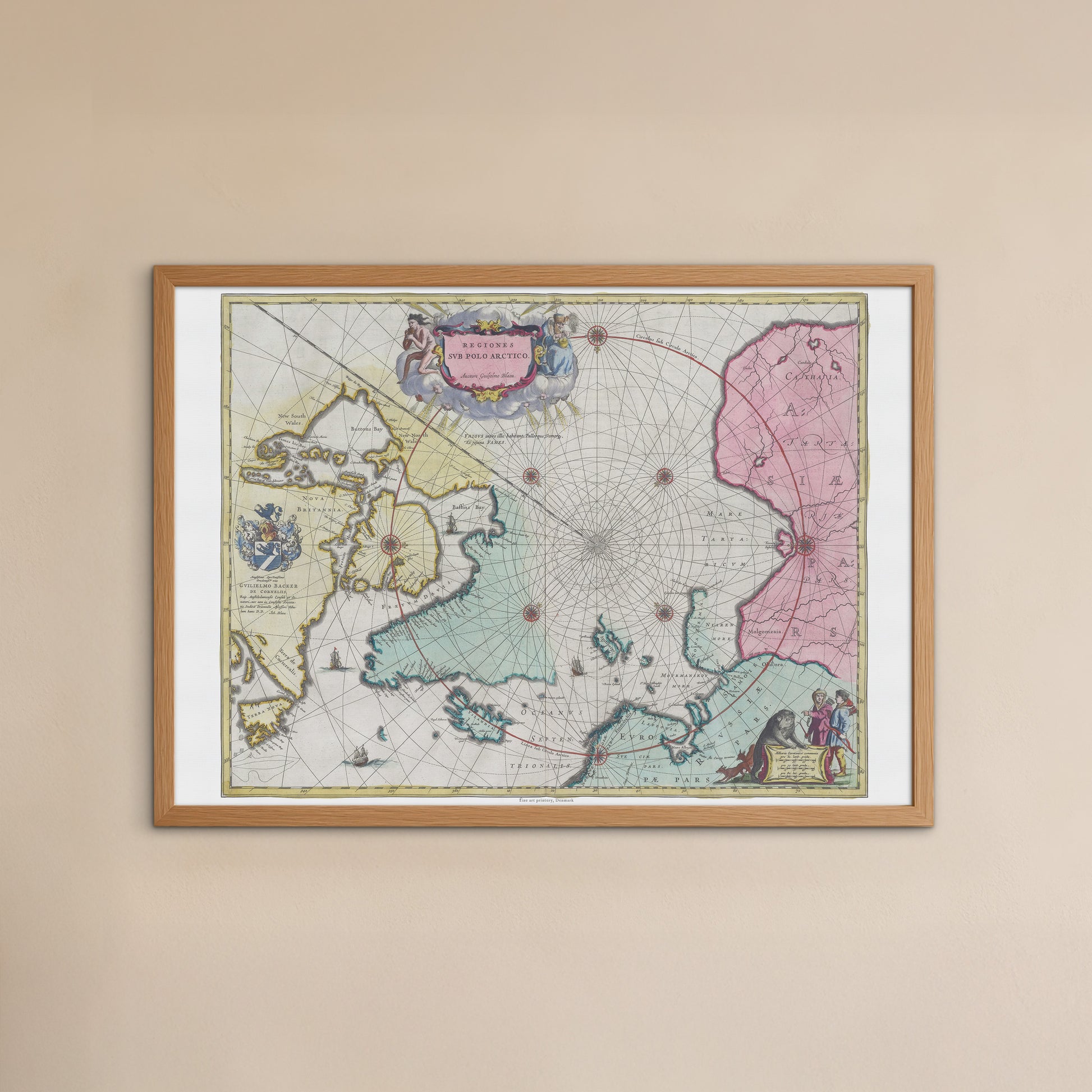
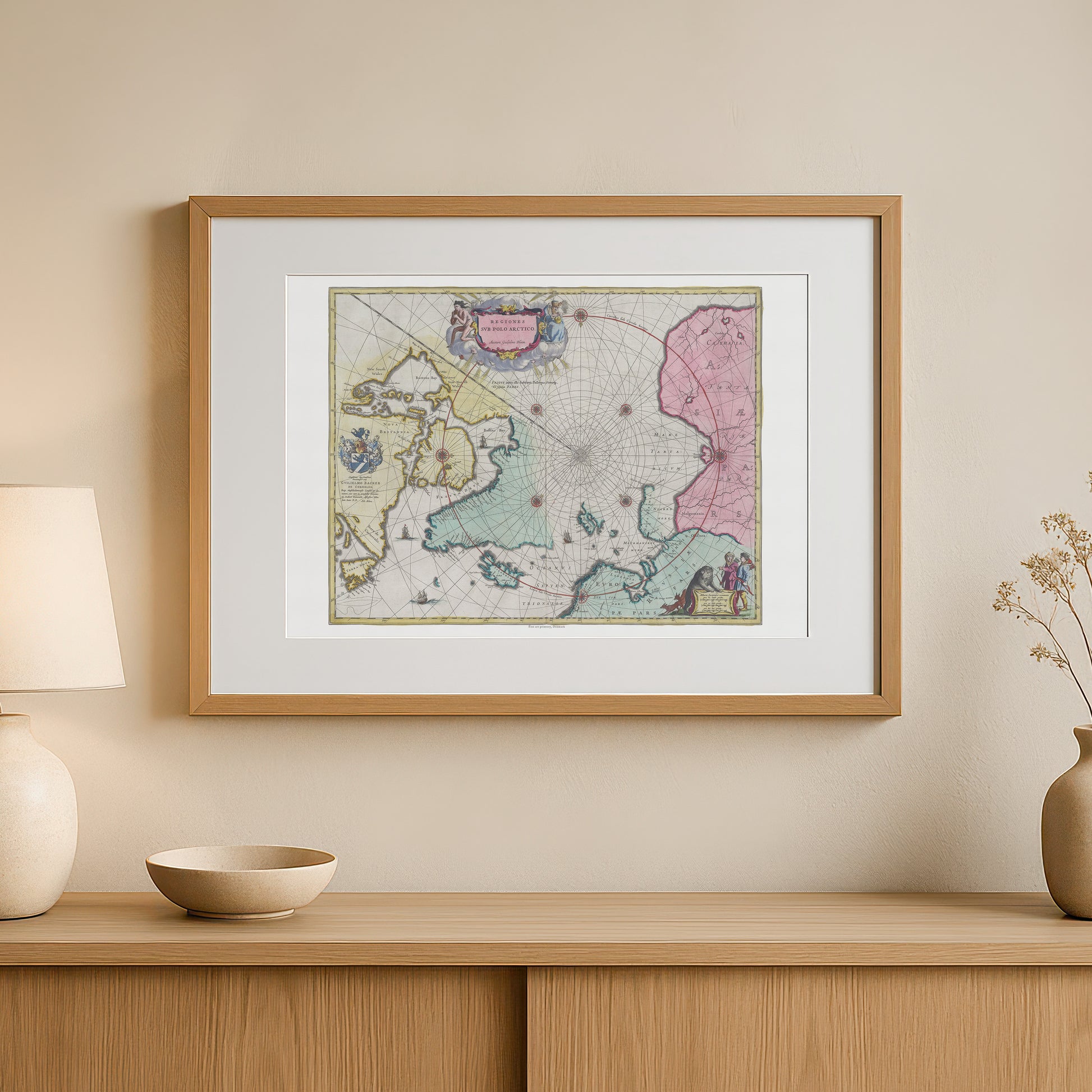
unless otherwise mentioned in the product description, frames etc. in the pictures are for decorative purposes only and are therefore not included.
Couldn't load pickup availability
This is a unique poster that recreates one of the most fascinating maps from the Dutch Golden Age. "Regiones Sub Polo Arctico" (Regions Below the Arctic Pole) is a historical map of the North Pole and surrounding Arctic areas, originally created by the famous cartographer Joan Blaeu and published in his famous Atlas Maior in 1665.
The map provides a rare insight into how the Arctic region was imagined in the 17th century – a mix of scientific observations and mythological imagination. It shows known landmasses such as Greenland, Iceland, parts of North America and Scandinavia , but also the vast, undiscovered areas around the pole itself, which was believed at the time to be a large ice-covered continent.
The visual style is incredible. The map is hand-colored in delicate pastels and is richly decorated with ships, heraldic coats of arms, and intricate cartouches that frame the map's title and dedication. Particularly notable is the nautical precision with compass lines radiating from the pole, emphasizing the map's importance to navigation and exploration.
This poster is the perfect choice for adventurous souls, travelers, storytellers and collectors . It will add a unique and sophisticated atmosphere to any home office, living room or library. The poster is printed in high quality, which guarantees that every detail, from the fine lines to the delicate colors, appears vivid and sharp.


