
Fine Art Printery
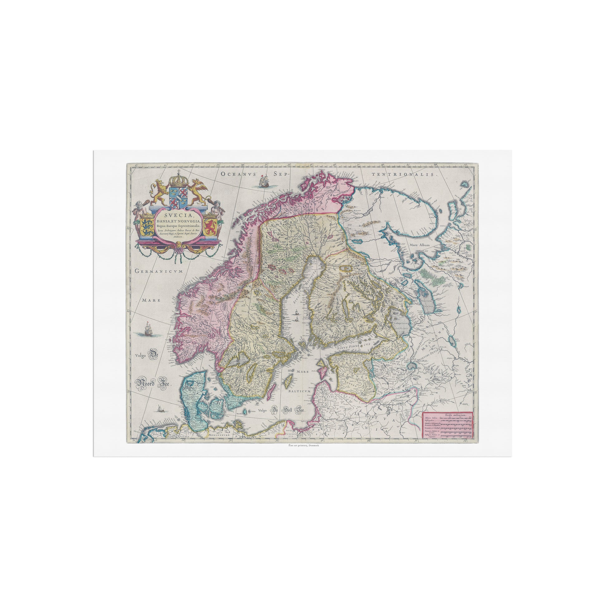
Historical Scandinavian Map: "Swecia, Dania et Norvegia" by Joan Blaeu (1665)
Historical Scandinavian Map: "Swecia, Dania et Norvegia" by Joan Blaeu (1665)
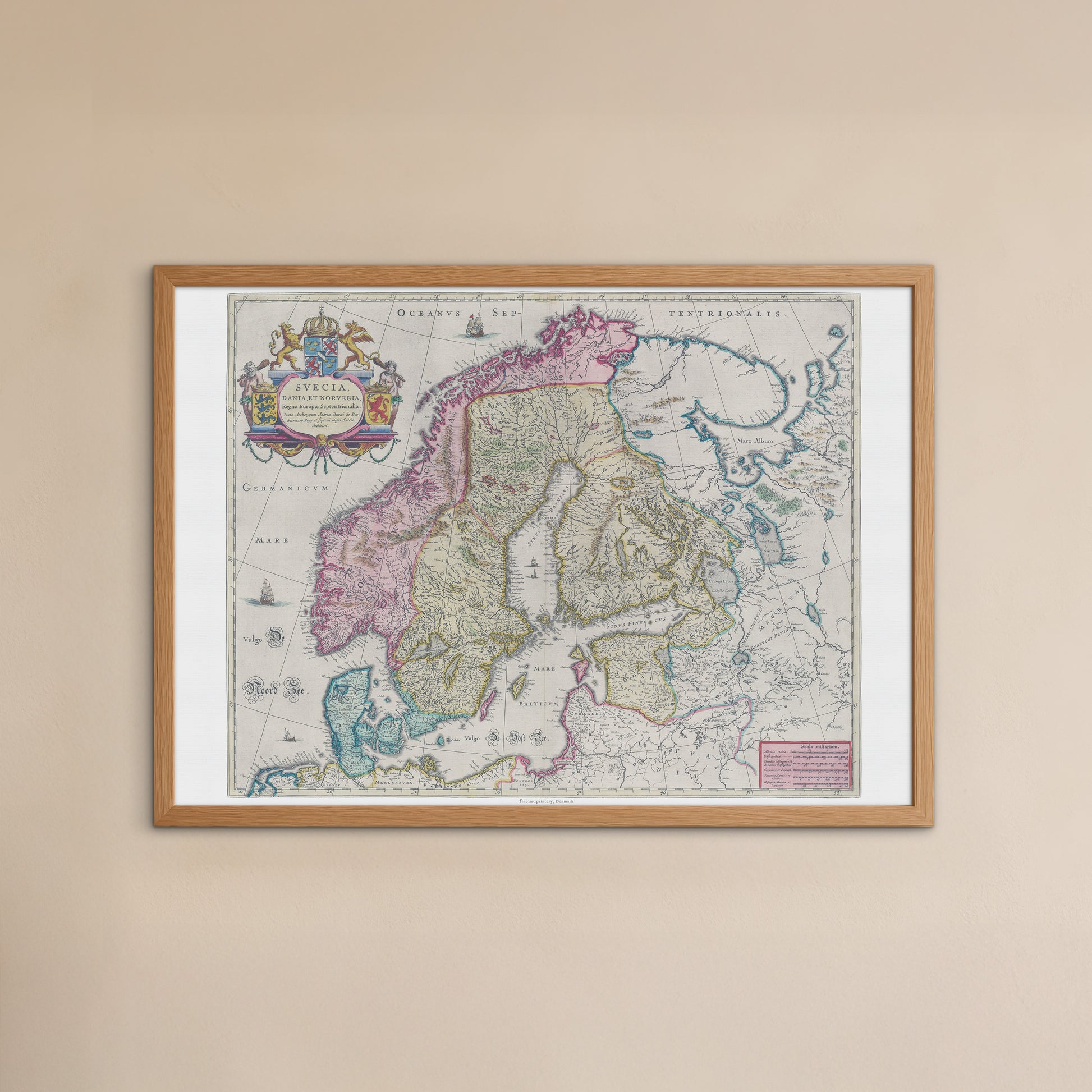
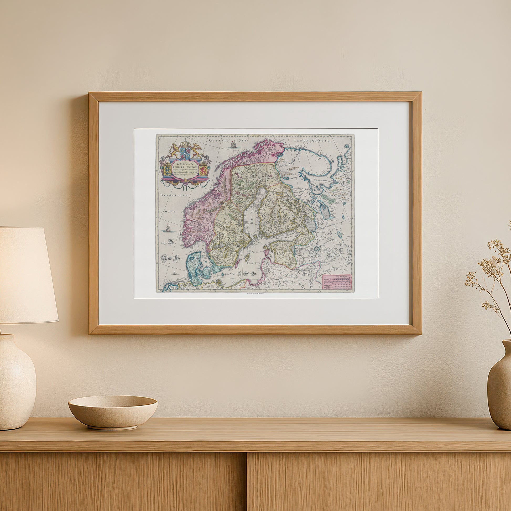
unless otherwise mentioned in the product description, frames etc. in the pictures are for decorative purposes only and are therefore not included.
Couldn't load pickup availability
Delve into history with this impressive and detailed map of Scandinavia from the 17th century. The poster "Svecia, Dania et Norvegia" is a faithful reproduction of a hand-colored map by renowned cartographer Joan Blaeu , originally published in his monumental work, Atlas Maior , in 1665.
This map provides a fascinating insight into what Sweden, Denmark and Norway looked like during a time of great change and discovery. The map is characterized by fine detail, showing regions, cities and waters with impressive precision for its time. It is richly decorated with ships, compass roses and a beautiful, ornate cartouche with the coats of arms of the three kingdoms, emphasizing the historical and political context. Each region is colored with delicate pastel colors, giving the map an aesthetic that is both elegant and historically correct.
This poster is the perfect gift for history buffs, expatriate Danes, Swedes, Norwegians and anyone with a special connection to Scandinavia. It fits perfectly into a home office, living room or library, where it will add a sophisticated and personal touch. The poster is printed in high quality, ensuring that every fine line and color nuance appears sharp and vivid, just like in the original.


