
Fine Art Printery
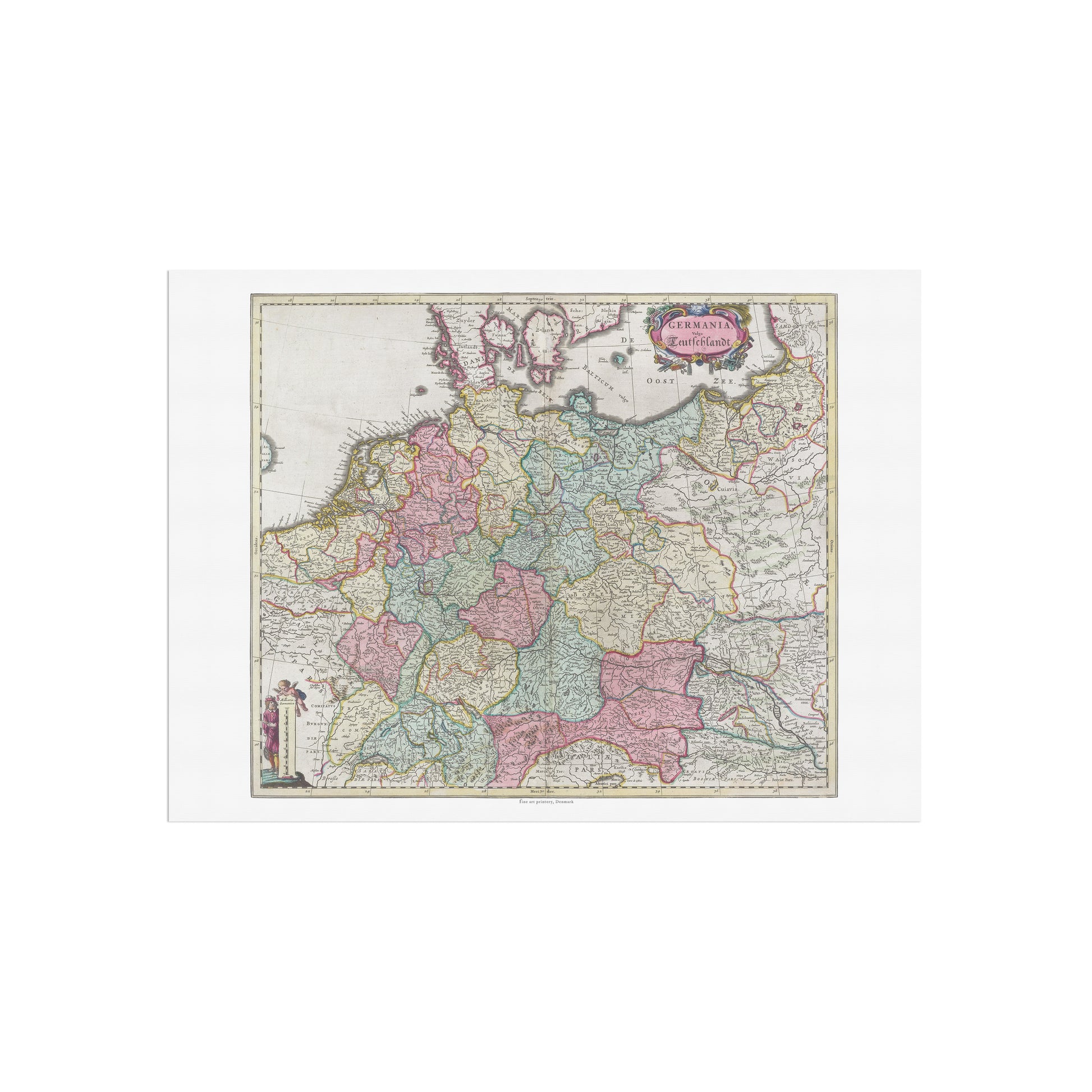
Historical Map of Germany: "Germania Vulgo Teutschlandt" by Joan Blaeu (1665)
Historical Map of Germany: "Germania Vulgo Teutschlandt" by Joan Blaeu (1665)
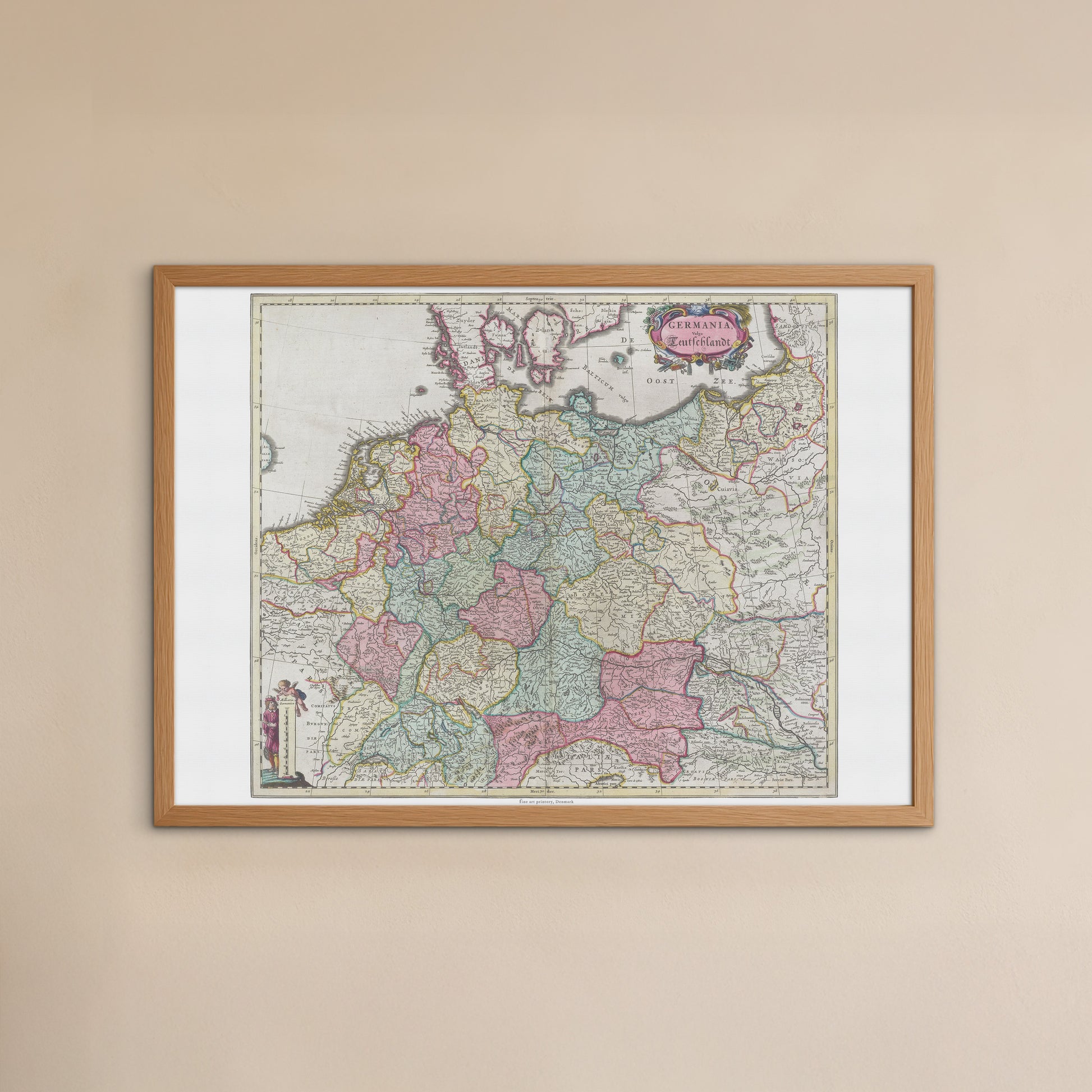
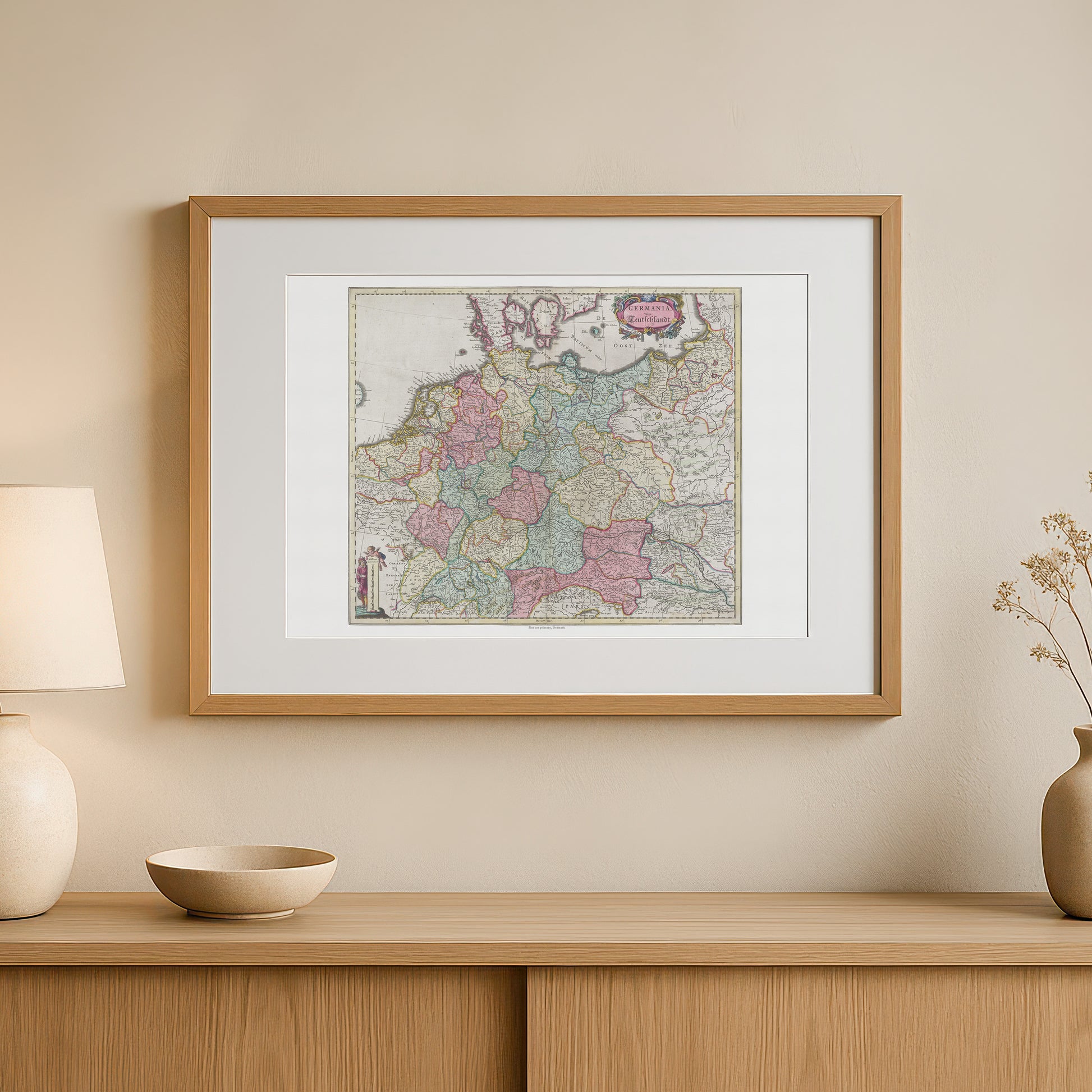
unless otherwise mentioned in the product description, frames etc. in the pictures are for decorative purposes only and are therefore not included.
Couldn't load pickup availability
Experience a piece of German history with this beautiful and detailed 17th century map of Germany. The poster "Germania Vulgo Teutschlandt" is a faithful reproduction of a hand-colored map by renowned cartographer Joan Blaeu , originally published in his monumental work, Atlas Maior , in 1665.
This map provides a fascinating insight into what the German region, once the Holy Roman Empire, looked like during a time of great change. The map is characterized by fine detail, showing the many principalities and regions that made up central Europe at the time. It is richly decorated with beautiful, ornate cartouches with coats of arms of the time and a title frame that emphasizes the historical and political significance of the map. Each region is colored in delicate pastel colors, giving the map an aesthetic that is both elegant and historically accurate.
This poster is the perfect gift for history buffs, travelers , and anyone with a special connection to Germany. It would fit perfectly in a home office, living room, or library, where it would add a sophisticated and personal touch.


