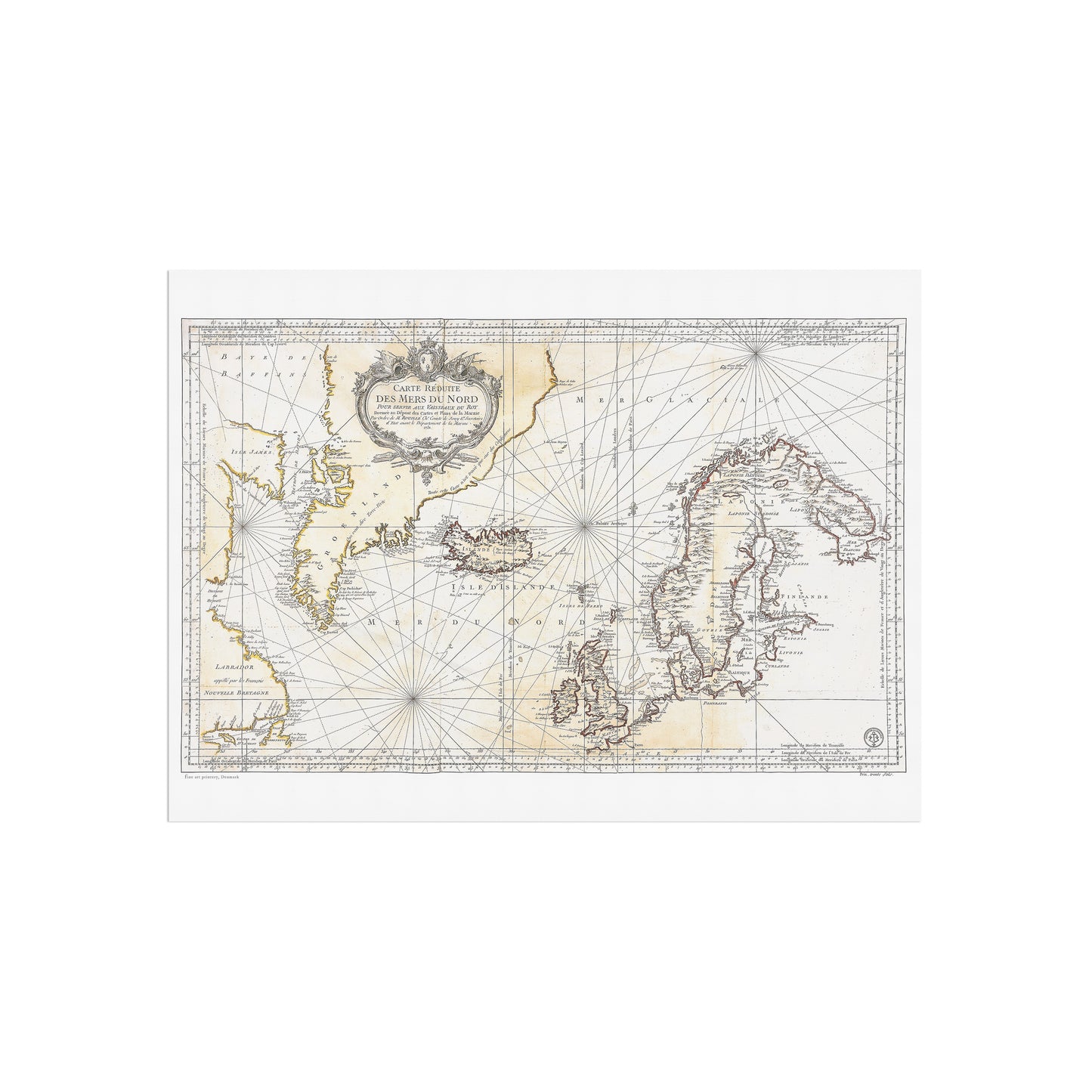
This beautiful map shows the northern seas that lie between Europe, Greenland, Canada etc. It is a French produced map originally published in 1751, in Versailles. The title text on the card can be translated into something similar to: Reduced map of Northern Seas, for the Service of the King's Vessels: prepared at the Depository of Charts and Plans for the Navy by order of M. Rouillé ch.r comte de Jouy &ca Secretary of State with the Department of Marine. 1751. Wed.