Fine Art Printery
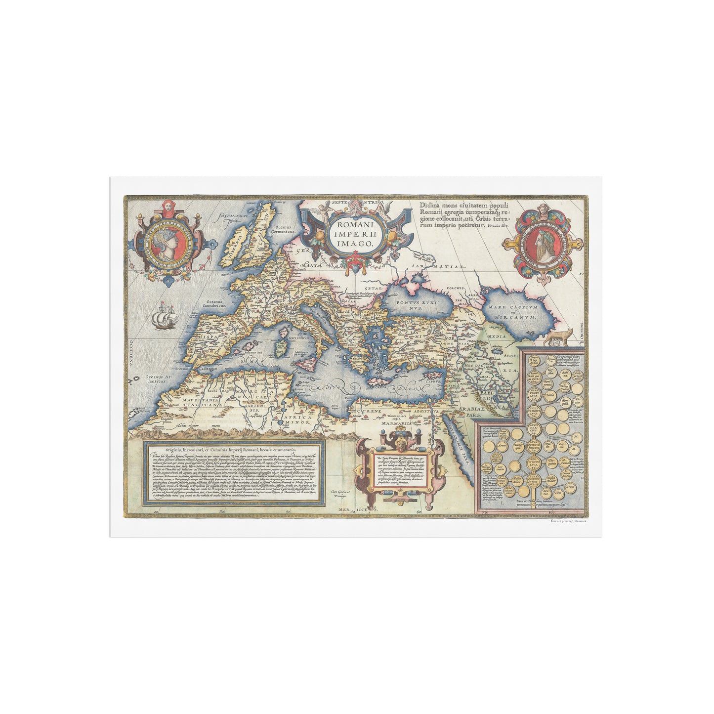
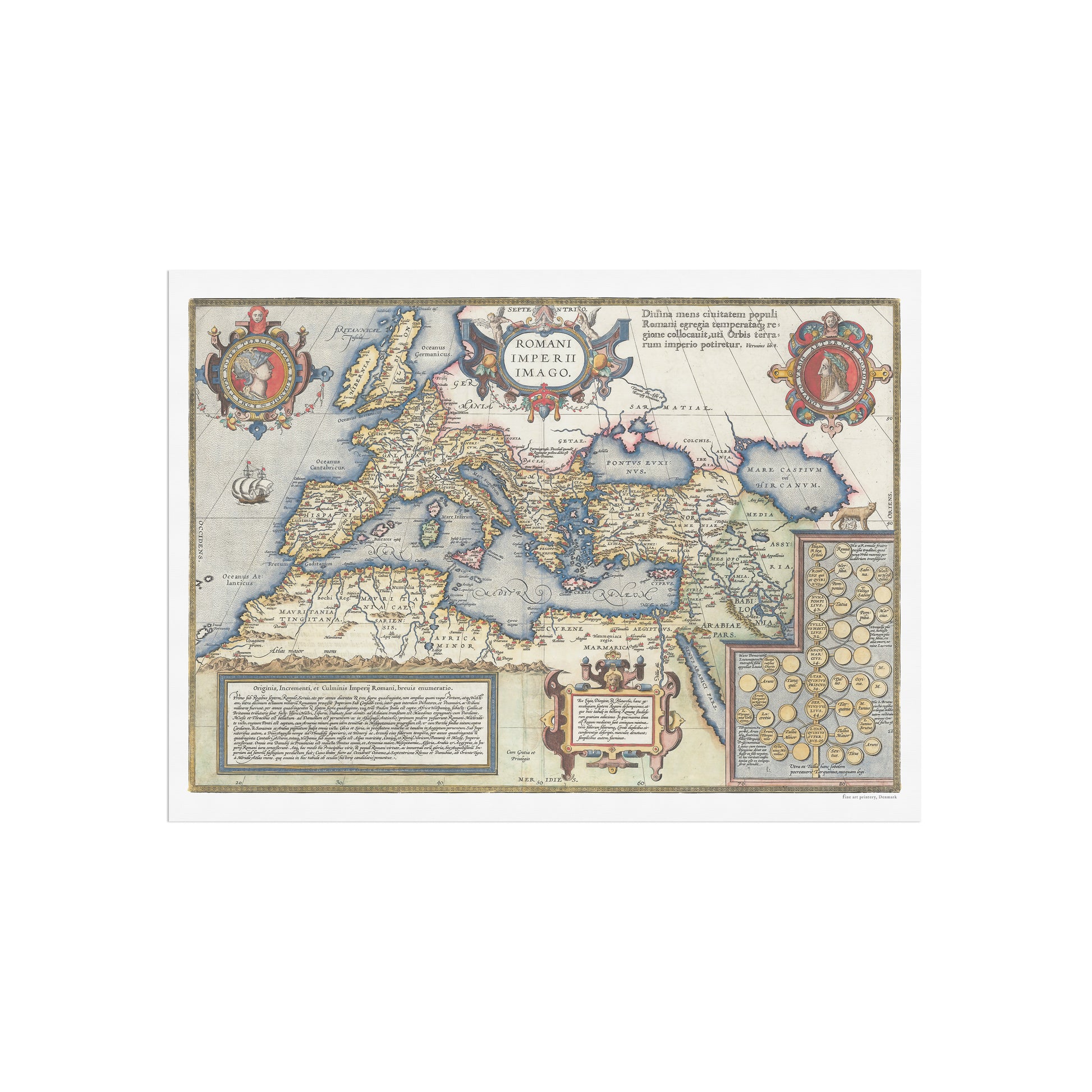
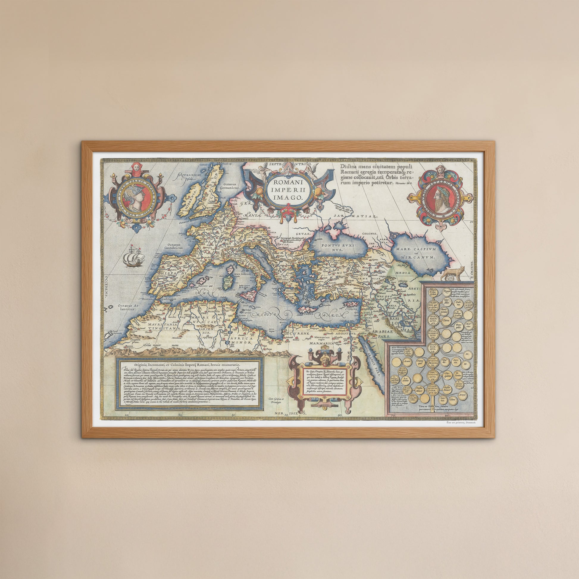
Map of the Roman Empire by Abraham Ortelius, 1603
Map of the Roman Empire by Abraham Ortelius, 1603
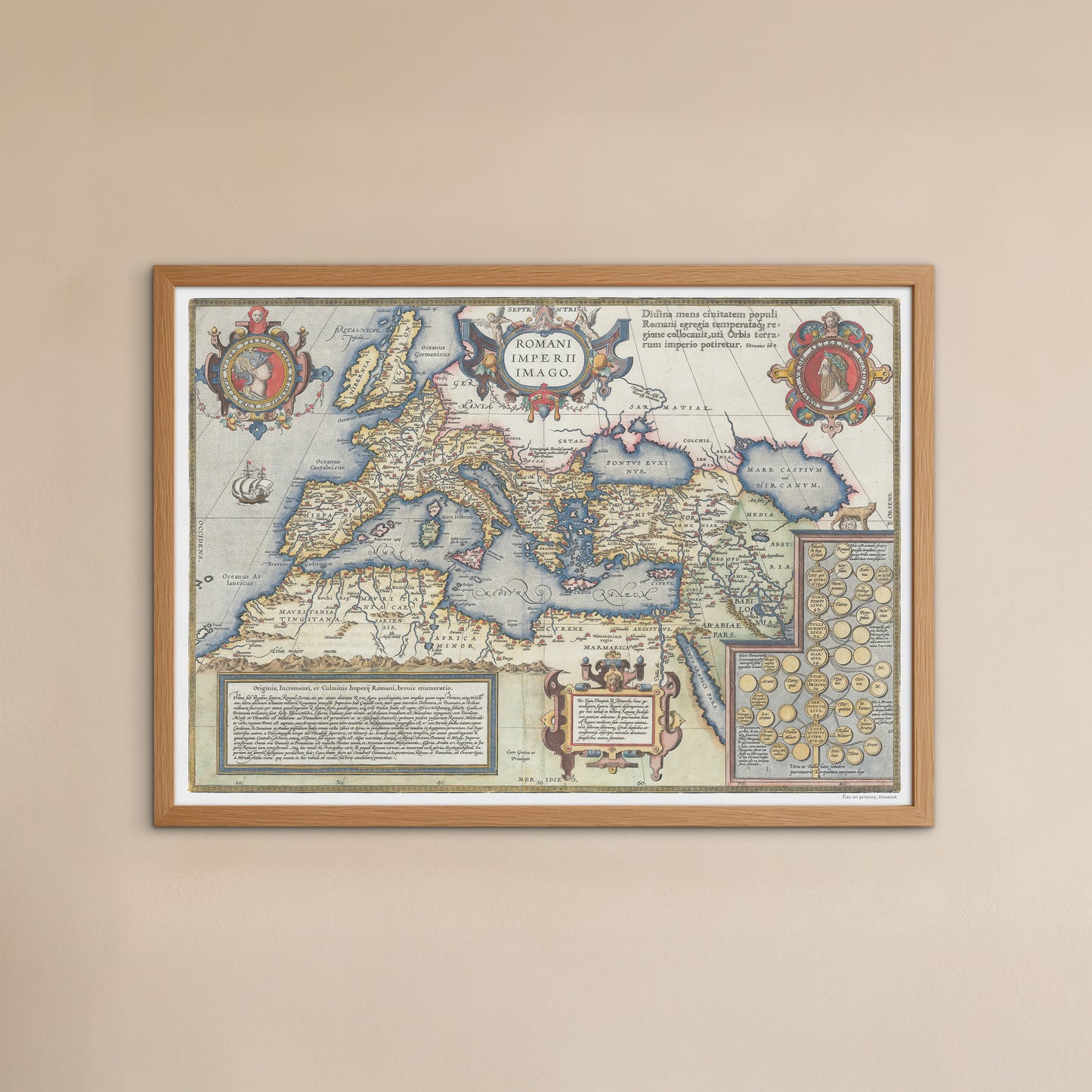
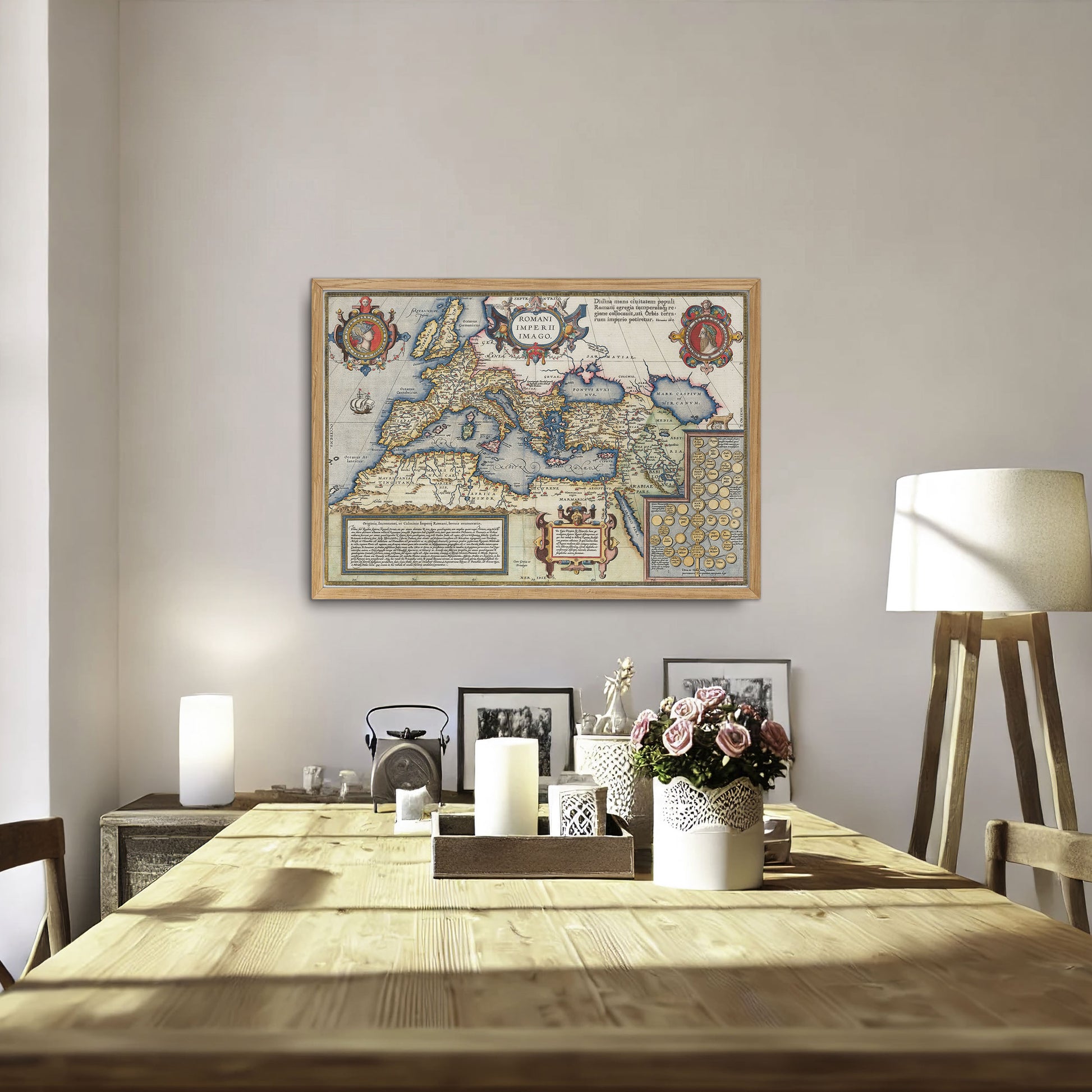
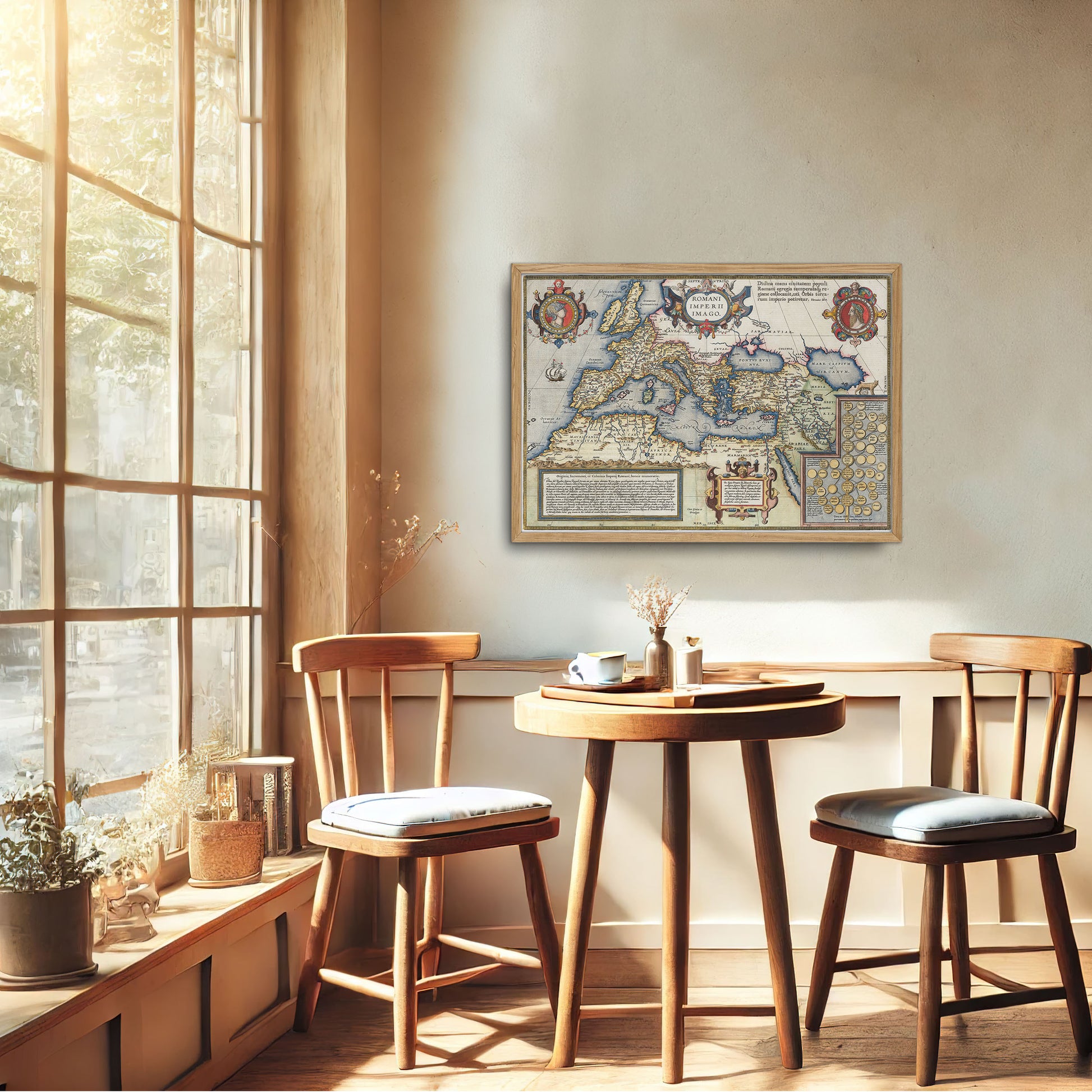
unless otherwise mentioned in the product description, frames etc. in the pictures are for decorative purposes only and are therefore not included.
Couldn't load pickup availability
Original title: Romani Imperii Imago
This is a beautifully executed reproduction of Abraham Ortelius' famous map of the Roman Empire, originally from his Parergon , the first historical atlas ever published. The map focuses on the Roman Empire at its height and stretches from Britain in the west to the Near East, and includes Europe, parts of North Africa and the Mediterranean. This detailed map provides an impressive visual representation of the kingdom with the Mediterranean at its center.
The design is enriched with ornate banded cartouches, two medallion portraits—Romulus and Remus—as well as a detailed family tree tracing the descent of the first seven Roman kings. Historical panels on the map provide additional context and explain the history of the Roman Empire. A sailing ship is also included to highlight the importance of the maritime routes. To reinforce the classical theme, a quotation from Vitruvius is included in prominent letters, adding a scientific touch to the presentation.
Originally part of Ortelius' Theatrum Orbis Terrarum , the first modern atlas, the Parergon became so successful that it later became an independent work. This map was very influential during the seventeenth century and is a perfect addition for lovers of historical cartography and Roman history.
