Fine Art Printery
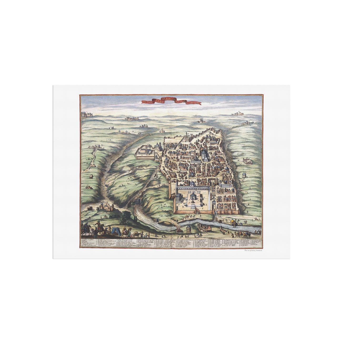
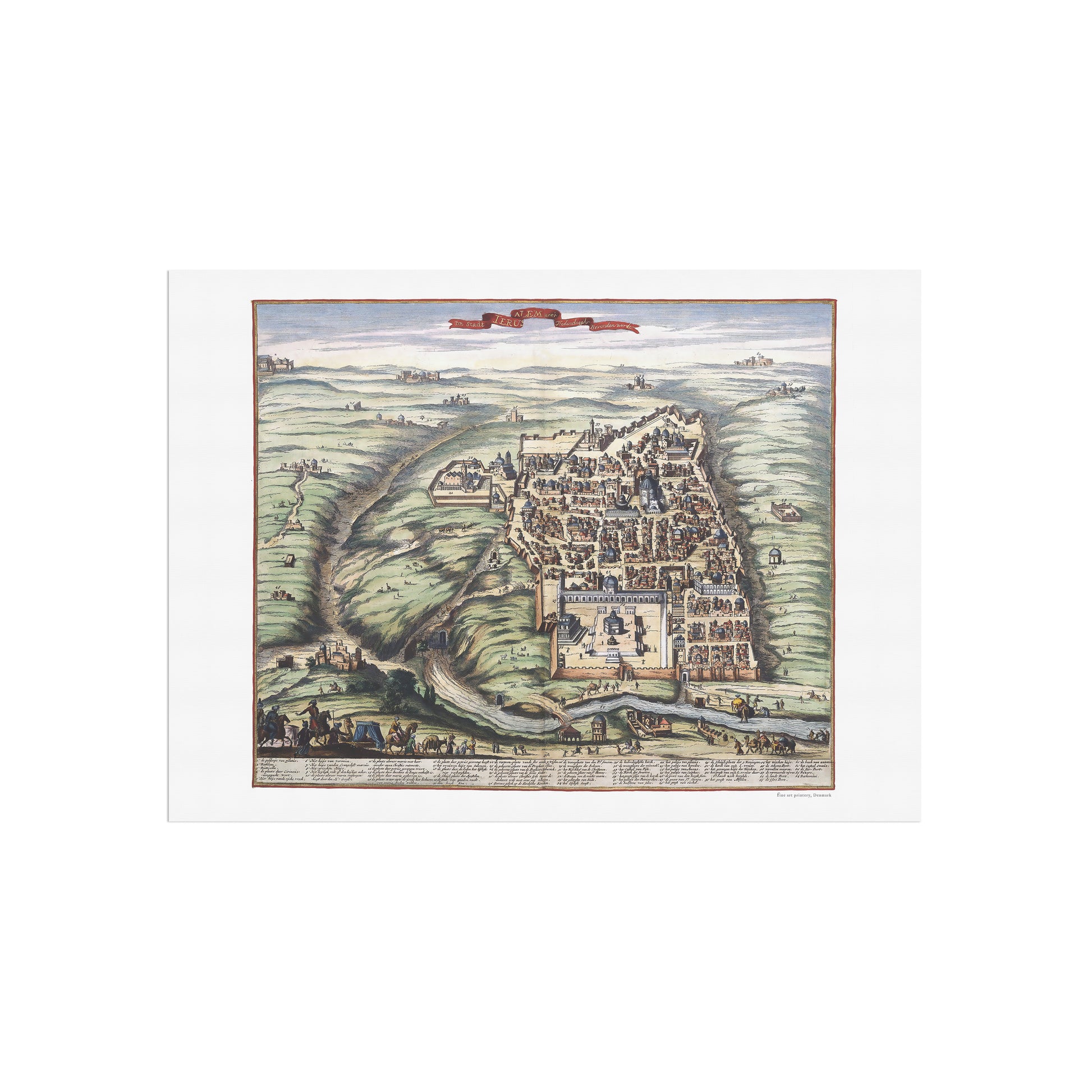
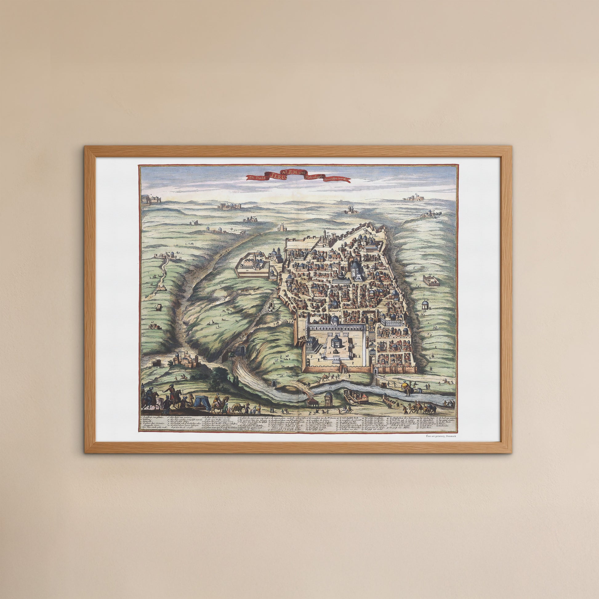
Map of Jerusalem from the 17th century
Map of Jerusalem from the 17th century
unless otherwise mentioned in the product description, frames etc. in the pictures are for decorative purposes only and are therefore not included.
Couldn't load pickup availability
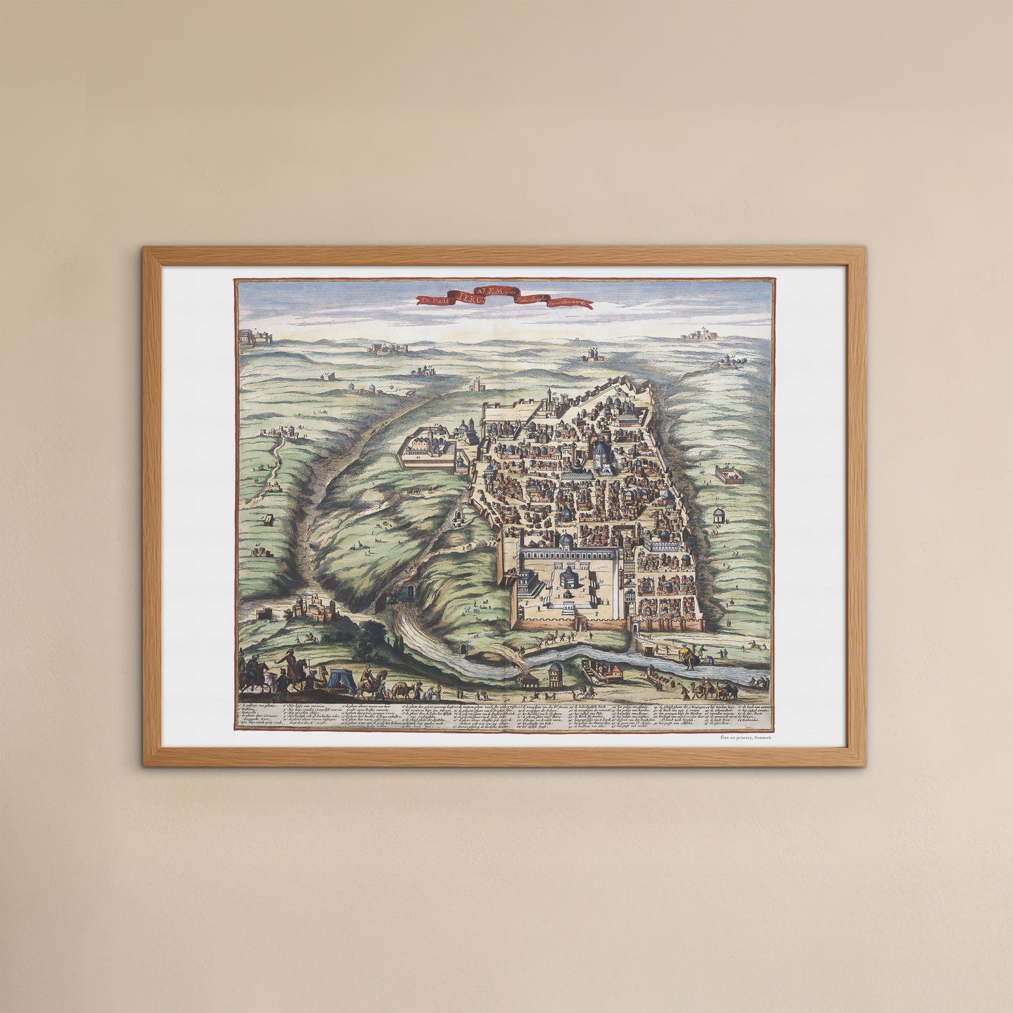
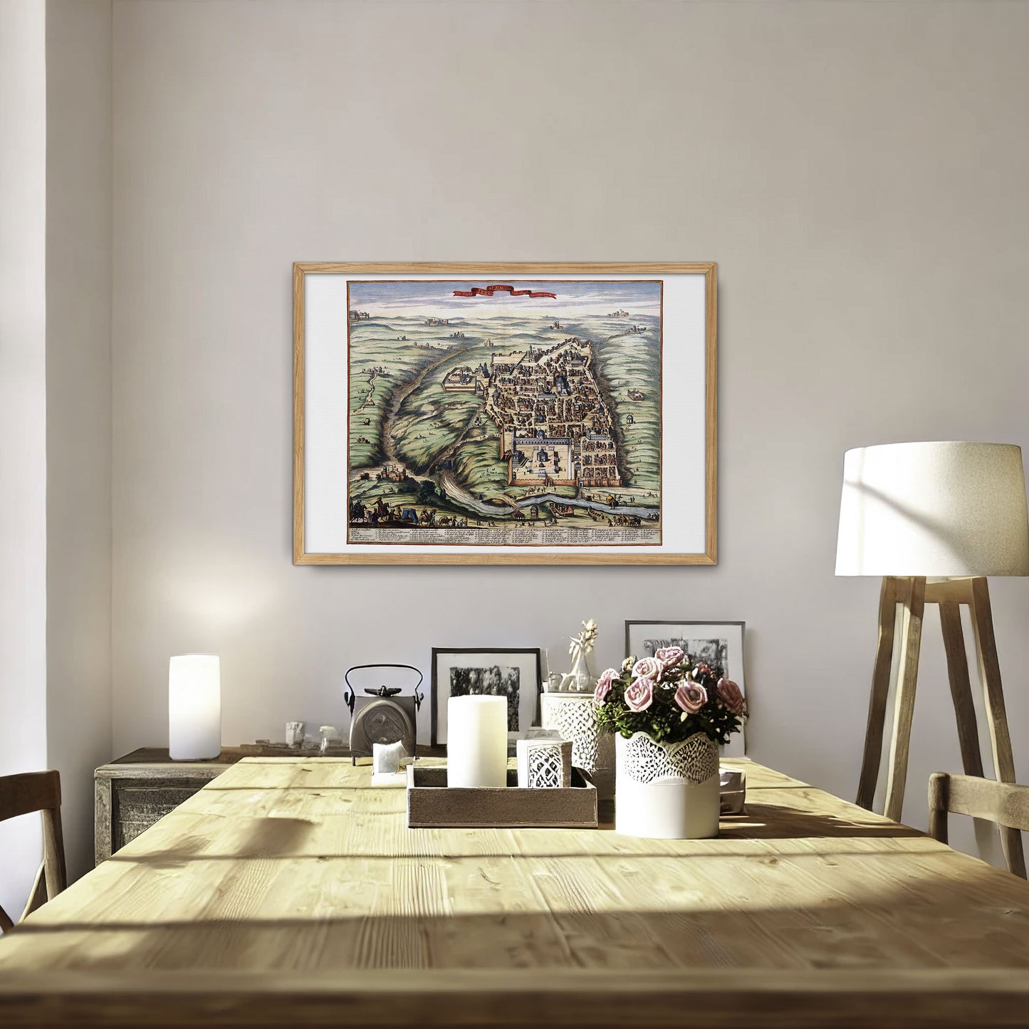
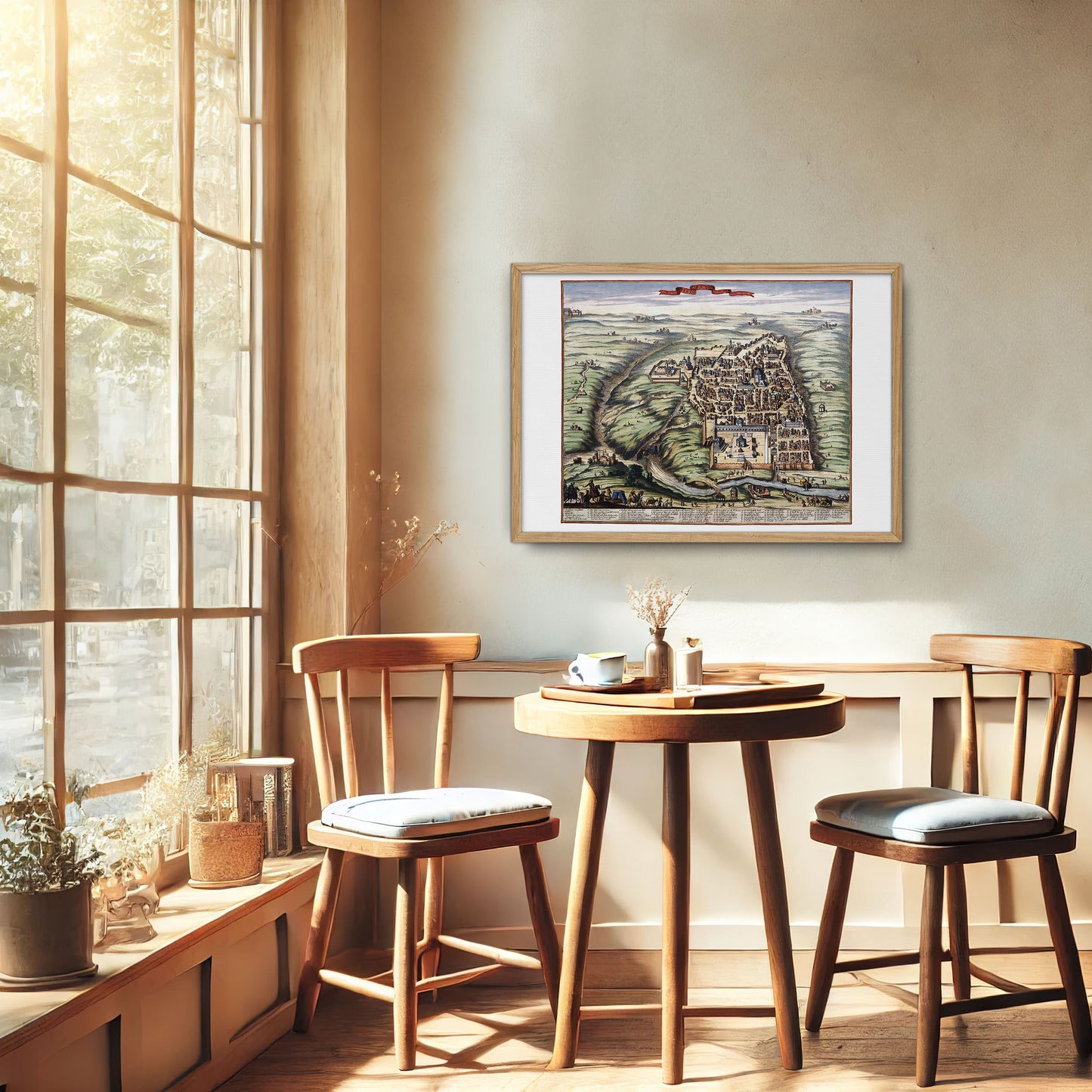
This beautiful replica of a historical map of Jerusalem gives a captivating insight into the city's past, originally depicted in the 'Atlas Van der Hagen' around 1690. This bird's eye view of Jerusalem is from a period when there was a great demand for maps and prints of Jerusalem and the Holy Land, which was often used as illustrations in books etc
Atlas Van der Hagen is not one simultaneously produced atlas, but a rich collection of various maps, topographic images, portraits, motifs of animals and plants, mythological scenes and much more. While the exact composer of this atlas remains uncertain, recent research points to Dirk van der Hagen, a merchant and map collector from Amsterdam, as the likely compiler. Van der Hagen curated an extensive collection of drawings and prints and selected the most beautiful to be hand-colored by renowned artist Dirk Jansz van Santen.
This meticulously illustrated map of Jerusalem shows prominent landmarks, city walls and surrounding topography, blending accuracy with artistic embellishment typical of the era. The vivid colors and detailed features highlight the skill of the cartographer and the historical importance of Jerusalem as a religious and cultural epicenter.
Produced on high quality paper, this fine art replica is perfect for historians, art lovers and others with a deep appreciation for Jerusalem's rich history. Whether displayed in a home, office or gallery, this city map serves as a beautiful and educational piece that captures the essence of a bygone era.
